


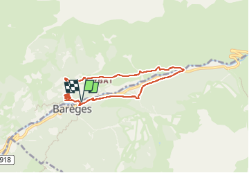

16 km | 34 km-effort

Gebruiker GUIDE


Gratisgps-wandelapplicatie
 SityTrail
IGN / Geografische instituten
SityTrail World
De wereld gaat voor u open
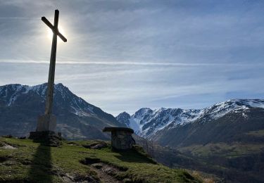
Tocht Stappen van 7,2 km beschikbaar op Occitanië, Hautes-Pyrénées, Barèges. Deze tocht wordt voorgesteld door marmotte65.
Vue la longueur de la rando un départ à 10h30 sera suffisant
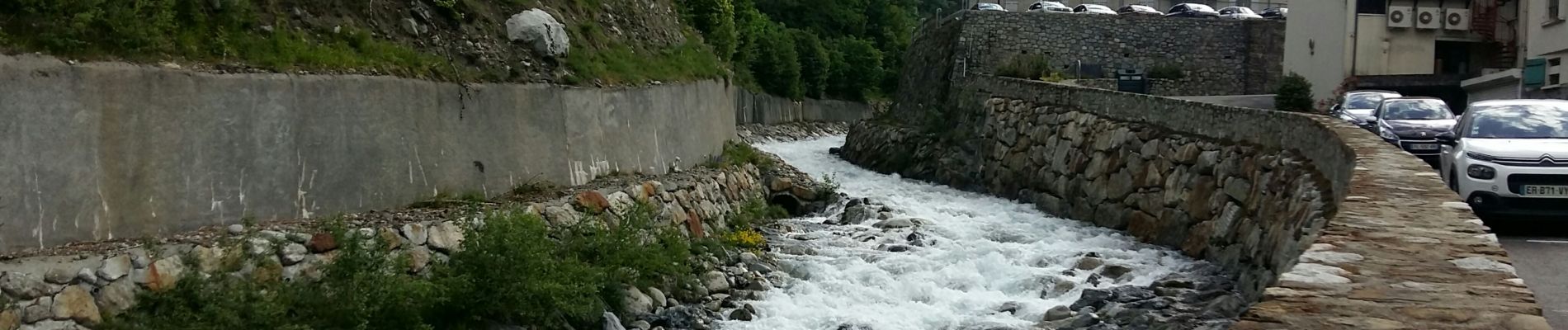
Le PN est prévu sur un terrain Pla apres les chalets du centre de vacances du hameau Rollot vers 13h. a coté de la cascade du ruisseau de la glère.
Donc départ de Ger et de Ousse à 9h


Stappen

Stappen

Te voet

Stappen
Te voet

Paardrijden
Stappen

Stappen
Stappen