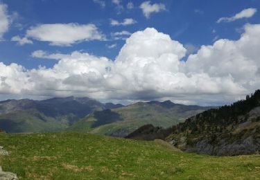
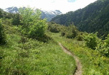
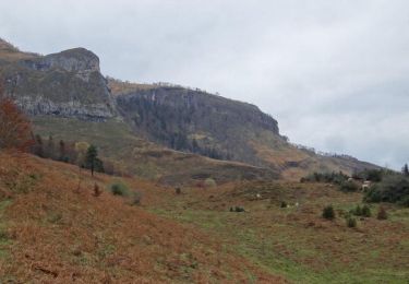
8 km | 14,1 km-effort
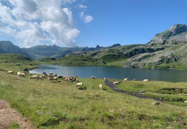
Lac d'Isabe
bleimor56
Gebruiker
Lengte
10,6 km
Max. hoogte
2100 m
Positief hoogteverschil
1132 m
Km-Effort
26 km
Min. hoogte
958 m
Negatief hoogteverschil
1127 m
Boucle
Ja
Datum van aanmaak :
2022-05-30 08:11:41.647
Laatste wijziging :
2022-06-01 20:09:25.796
4h52
Moeilijkheid : Zeer moeilijk
Gratisgps-wandelapplicatie
Over ons
Tocht Stappen van 10,6 km beschikbaar op Nieuw-Aquitanië, Pyrénées-Atlantiques, Laruns. Deze tocht wordt voorgesteld door bleimor56.
Beschrijving
La montée est très raide surtout à partir du moment où on quitte le sous-bois
Plaatsbepaling
Land:
France
Regio :
Nieuw-Aquitanië
Departement/Provincie :
Pyrénées-Atlantiques
Gemeente :
Laruns
Locatie:
Unknown
Vertrek:(Dec)
Vertrek:(UTM)
706782 ; 4756278 (30T) N.
Opmerkingen
Wandeltochten in de omgeving
chemin des fenetres
Stappen
Gemakkelijk
(1)
Laruns,
Nieuw-Aquitanië,
Pyrénées-Atlantiques,
France
3h 0min
Neen
Gabas Etsaut
sport
Heel gemakkelijk
Laruns,
Nieuw-Aquitanië,
Pyrénées-Atlantiques,
France
26 km | 44 km-effort
Onbekend
Neen
COLLECTE GR108 "4" Secteur A "3798723"
Stappen
Medium
Laruns,
Nieuw-Aquitanië,
Pyrénées-Atlantiques,
France
6,6 km | 11 km-effort
2h 29min
Neen
Voie d'OssauB
Te voet
Medium
Laruns,
Nieuw-Aquitanië,
Pyrénées-Atlantiques,
France
14,1 km | 24 km-effort
5h 32min
Neen
Vallon du Soussouéou
Te voet
Medium
Laruns,
Nieuw-Aquitanië,
Pyrénées-Atlantiques,
France
13,7 km | 26 km-effort
5h 51min
Ja
TDP N°12 GABAS EAUX BONNES
Andere activiteiten
Heel gemakkelijk
Laruns,
Nieuw-Aquitanië,
Pyrénées-Atlantiques,
France
24 km | 43 km-effort
7h 38min
Neen
Vallon du Soussouéou
Stappen
Medium
(1)
Laruns,
Nieuw-Aquitanië,
Pyrénées-Atlantiques,
France
15,1 km | 28 km-effort
6h 37min
Ja
Pic de la Gentiane depuis Goust
Stappen
Moeilijk
Laruns,
Nieuw-Aquitanië,
Pyrénées-Atlantiques,
France
13,4 km | 26 km-effort
6h 0min
Ja
Collecte GR 108 2eme tronçon "3707625"
Te voet
Gemakkelijk
Laruns,
Nieuw-Aquitanië,
Pyrénées-Atlantiques,
France
5,3 km | 10 km-effort
2h 16min
Neen