


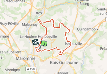


11,7 km | 15,2 km-effort

Gebruiker


Gratisgps-wandelapplicatie
 SityTrail
IGN / Geografische instituten
SityTrail World
De wereld gaat voor u open
Tocht Stappen van 29 km beschikbaar op Normandië, Seine-Maritime, Notre-Dame-de-Bondeville. Deze tocht wordt voorgesteld door jacques delaporte.
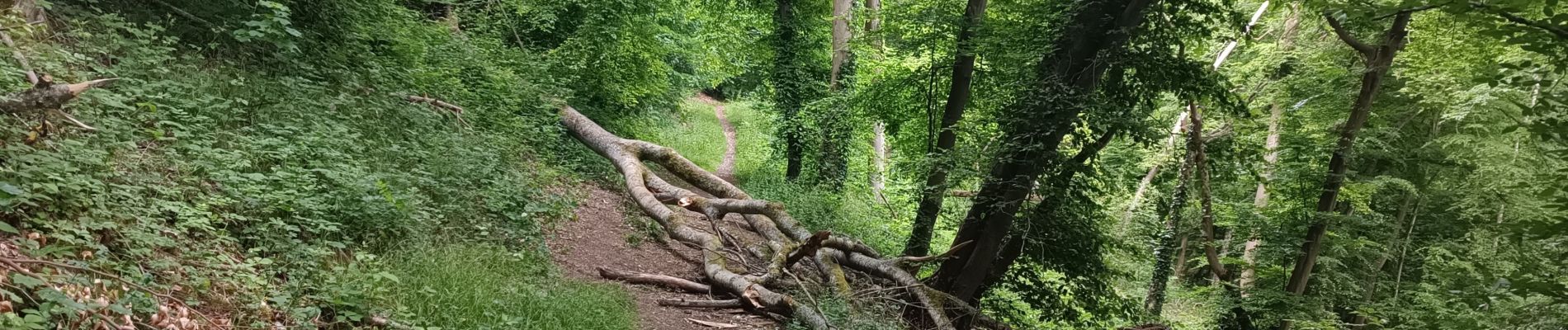
Belle randonnée,le Sentier de la bicyclette en passant, traversée des Bois, excellence.❤️


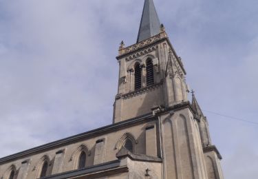
34 fotos in totaal. Klik op een foto om ze allemaal in de galerij weer te geven.

Stappen

Stappen

Stappen

Mountainbike
Stappen
Stappen

Noords wandelen

Stappen

Stappen