


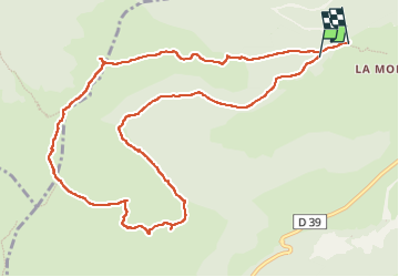

8,2 km | 14,2 km-effort

Gebruiker


Gratisgps-wandelapplicatie
 SityTrail
IGN / Geografische instituten
SityTrail World
De wereld gaat voor u open
Tocht Stappen van 12,2 km beschikbaar op Auvergne-Rhône-Alpes, Cantal, Albepierre-Bredons. Deze tocht wordt voorgesteld door bidetarou.
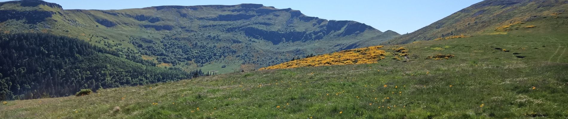
Randonnée débutant par une partie ombragée puis montée vers les crêtes autour du cirques de Chamalières. Prévoir du temps parties difficiles au niveau du puy du rocher (échelle métallique)


Stappen

Stappen

Stappen

Stappen

Stappen

Stappen

Wegfiets

Wegfiets

Wegfiets