


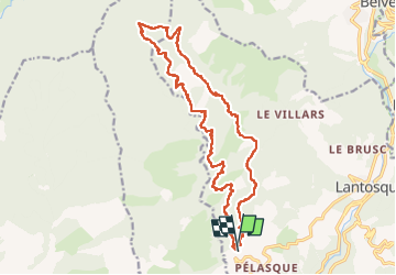

11,2 km | 22 km-effort

Gebruiker


Gratisgps-wandelapplicatie
 SityTrail
IGN / Geografische instituten
SityTrail World
De wereld gaat voor u open
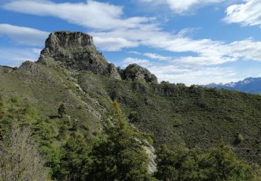
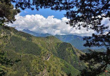
Tocht Stappen van 22 km beschikbaar op Provence-Alpes-Côte d'Azur, Alpes-Maritimes, Lantosque. Deze tocht wordt voorgesteld door ETMU5496.
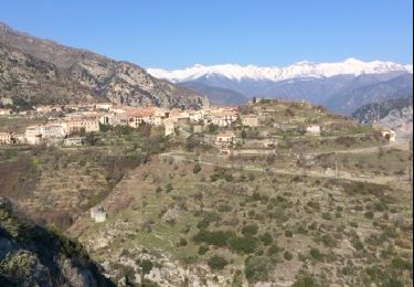
Au départ de l'ancien hôtel Auda sur le hameau de Pélasque (commune de Lantosque)
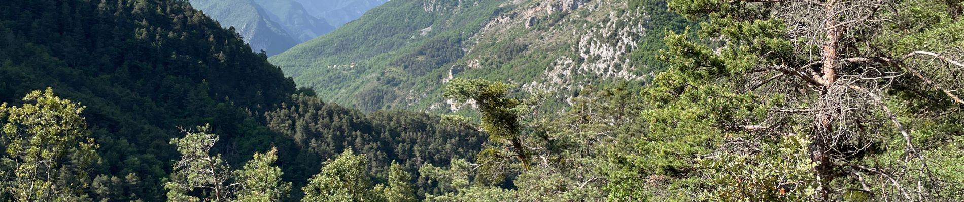
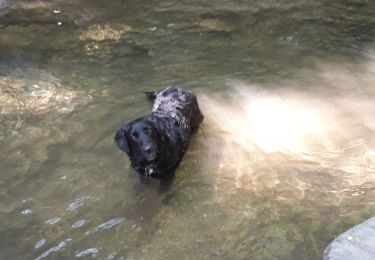
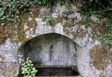
Cette randonnée ne présente aucune difficulté particulière. Elle est particulièrement agréable. Les sentiers sont de bonne qualité et majoritairement ombragés.


Stappen

Stappen
Te voet
Te voet
Stappen
Stappen
Stappen
Stappen
Stappen