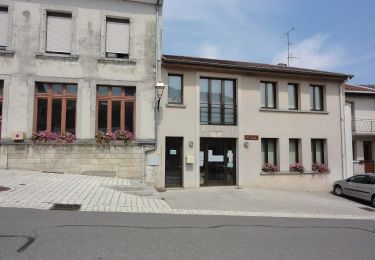
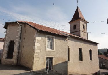
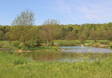
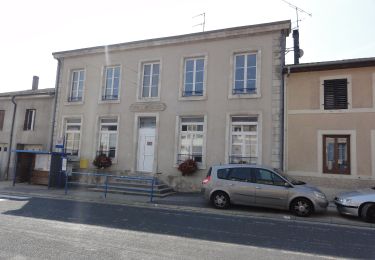
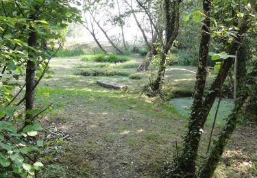
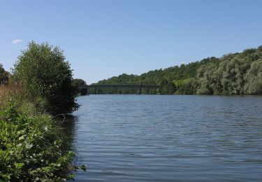
Tocht Stappen Bruley - Bruley 19 700m +450m - Photo
 DanielROLLET
DanielROLLET

Gebruiker

© OpenStreetMap contributors
Lengte
Lengte
19,7 km
Max. hoogte
Max. hoogte
364 m
Positief hoogteverschil
451 m
Km-Effort
Km-Effort  
26 km
Min. hoogte
Min. hoogte
242 m
Negatief hoogteverschil
450 m
Boucle
Boucle
Ja
Datum van aanmaak :
2022-05-27 07:09:25.578
Laatste wijziging :
2022-05-27 16:55:35.294

(0 Bericht)

Stappen
Stappen
4h50
Moeilijkheid : Moeilijk

Scan deze QR-code om de tocht te openen in de SityTrail-applicatie

Gratisgps-wandelapplicatie

Logo SityTrail SityTrail

IGN / Geografische instituten

SityTrail uit de App Store downloaden SityTrail uit Google Play downloaden

Logo SityTrail SityTrail World

De wereld gaat voor u open

SityTrail uit de App Store downloaden SityTrail uit Google Play downloaden SityTrail op Huawei AppGallery downloaden

Over ons

Tocht Stappen van 19,7 km beschikbaar op Grand Est, Meurthe-et-Moselle, Bruley. Deze tocht wordt voorgesteld door DanielROLLET.

Beschrijving

2022 05 27 Rando avec Marie
9h10 à 15h15 dont 1h15 de resto soit 4h50 de marche
Temps frais et couvert mais calme
Beau parcours sur chemin en balcon (plaine de la Woevre, Toul, Foug,
Problèmes de balisage et carto à partir de la Source de Domfontaine jusqu'au lieu-dit "Le Noroi"

Hoogteprofiel

Plaatsbepaling

Land:
France
Regio :
Grand Est
Departement/Provincie :
Meurthe-et-Moselle
Gemeente :
Bruley
Locatie:
Unknown
Vertrek:(UTM)
709704 ; 5398726 (31U) N.

Wandeltochten in de omgeving

Tocht Te voet Bruley - Circuit de la Petite Linotte - Photo
Te voet
GUIDE+

Te voet

Gemakkelijk
Bruley, Grand Est, Meurthe-et-Moselle, France
9,2 km | 12 km-effort
2h 43min
Neen
Tocht Mountainbike Toul - Côtes de Toul 50k 2012 - Photo
Mountainbike
virginieHurpeau

Mountainbike

Moeilijk
(2)
Toul, Grand Est, Meurthe-et-Moselle, France
59 km | 75 km-effort
5h 15min
Ja
Tocht Mountainbike Écrouves - 1 ère rando VTT - Photo
Mountainbike
ericsnoopy

Mountainbike

Heel gemakkelijk
(1)
Écrouves, Grand Est, Meurthe-et-Moselle, France
7,5 km | 9,5 km-effort
Onbekend
Ja
Tocht Te voet Laneuveville-derrière-Foug - Circuit de Domfontaine - Photo
Te voet
GUIDE+

Te voet

Gemakkelijk
Laneuveville-derrière-Foug, Grand Est, Meurthe-et-Moselle, France
9,5 km | 12,6 km-effort
2h 51min
Ja
Tocht Te voet Foug - Circuit de Grammont - Photo
Te voet
GUIDE+

Te voet

Gemakkelijk
Foug, Grand Est, Meurthe-et-Moselle, France
15,6 km | 19,3 km-effort
4h 23min
Neen
Tocht Te voet Lucey - Circuit des Vignes - Photo
Te voet
GUIDE+

Te voet

Gemakkelijk
Lucey, Grand Est, Meurthe-et-Moselle, France
4,2 km | 5,2 km-effort
1h 11min
Ja
Tocht Te voet Lagney - Circuit des Forts - Photo
Te voet
GUIDE+

Te voet

Gemakkelijk
Lagney, Grand Est, Meurthe-et-Moselle, France
8,3 km | 10,6 km-effort
2h 24min
Neen
Tocht Te voet Laneuveville-derrière-Foug - Circuit du Point du Jour - Photo
Te voet
GUIDE+

Te voet

Gemakkelijk
Laneuveville-derrière-Foug, Grand Est, Meurthe-et-Moselle, France
6,8 km | 8 km-effort
1h 49min
Neen
Tocht Te voet Dommartin-lès-Toul - Circuit du Luxembourg - Photo
Te voet
GUIDE+

Te voet

Gemakkelijk
Dommartin-lès-Toul, Grand Est, Meurthe-et-Moselle, France
12,5 km | 15,3 km-effort
3h 28min
Neen


Sluiten
Mijn abonnementen