


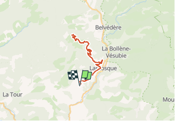

14,5 km | 25 km-effort


Gebruiker


Gratisgps-wandelapplicatie
 SityTrail
IGN / Geografische instituten
SityTrail World
De wereld gaat voor u open
Tocht Elektrische fiets van 31 km beschikbaar op Provence-Alpes-Côte d'Azur, Alpes-Maritimes, Lantosque. Deze tocht wordt voorgesteld door franquen.
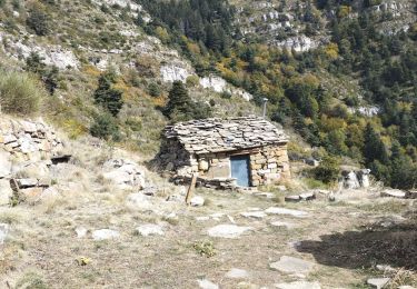
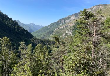
Aprés Lantosque c'est un chemin de terre qui monte régulier.
La Brasque était trop loin pour nos batteries !
Stappen

Stappen

Stappen
Stappen
Te voet
Te voet
Stappen
Stappen
Stappen