


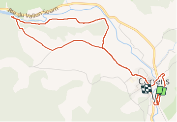

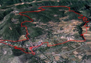
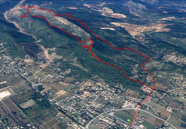
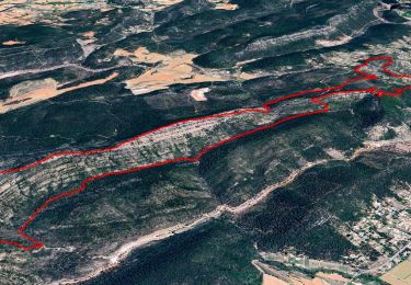
14,2 km | 18,1 km-effort


Gebruiker


Gratisgps-wandelapplicatie
 SityTrail
IGN / Geografische instituten
SityTrail World
De wereld gaat voor u open
Tocht Stappen van 6,9 km beschikbaar op Provence-Alpes-Côte d'Azur, Var, Correns. Deze tocht wordt voorgesteld door cb8310.
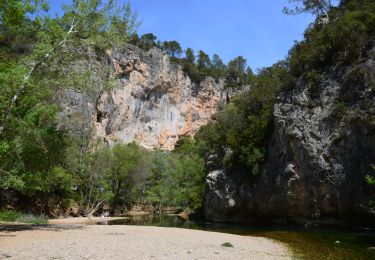
bonne montée au départ pour surplomber le village, puis du plat jusqu'au bois et aux abords de l'Argens
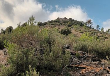
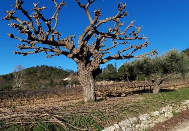
bonne montée ensuite avec visite de l'apié et à nouveau du plat au milieu des vignes avant de revenir au centre de Correns
Stappen
Stappen
Stappen
Stappen
Stappen
Stappen
Stappen

Stappen

Mountainbike