


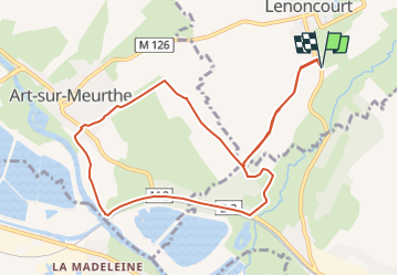

4,8 km | 6 km-effort


Gebruiker


Gratisgps-wandelapplicatie
 SityTrail
IGN / Geografische instituten
SityTrail World
De wereld gaat voor u open
Tocht Noords wandelen van 9,7 km beschikbaar op Grand Est, Meurthe-et-Moselle, Lenoncourt. Deze tocht wordt voorgesteld door DanielROLLET.
2022 05 23 - MND - 14 participants
9h25 à 11h35
Temps couvert légèrement pluvieux

Lopen
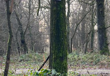
Noords wandelen
Noords wandelen
Noords wandelen
Noords wandelen

Stappen
Noords wandelen

Mountainbike

Noords wandelen