


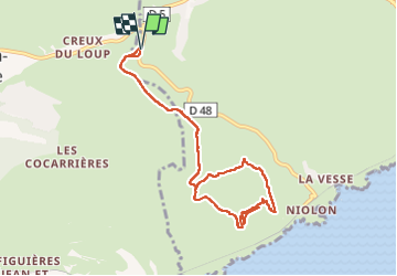

5,7 km | 8,3 km-effort

Gebruiker


Gratisgps-wandelapplicatie
 SityTrail
IGN / Geografische instituten
SityTrail World
De wereld gaat voor u open
Tocht Stappen van 9,4 km beschikbaar op Provence-Alpes-Côte d'Azur, Bouches-du-Rhône, Le Rove. Deze tocht wordt voorgesteld door jll7513.
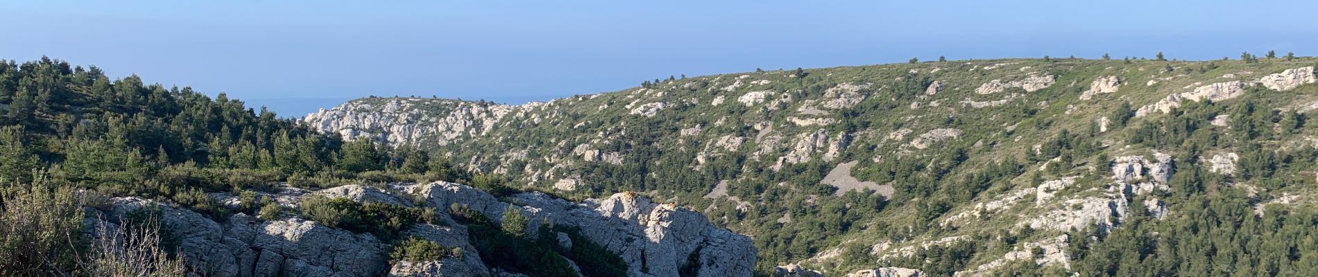
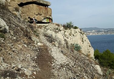
Belle petite randonnée, sur la fin de la boucle de retour on passe au milieu d'improbable petite oliveraies. Parcours pas du tout ombragé.


Stappen

Stappen

Stappen

Te voet

Te voet

Stappen

Stappen

Stappen
Stappen