


29 km | 35 km-effort

Gebruiker


Gratisgps-wandelapplicatie
 SityTrail
IGN / Geografische instituten
SityTrail World
De wereld gaat voor u open
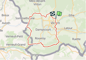
Tocht Stappen van 28 km beschikbaar op Wallonië, Luxemburg, Virton. Deze tocht wordt voorgesteld door Pascal L.
Départ/Retour: Virton (Val d'Away)
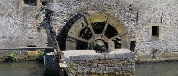
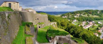
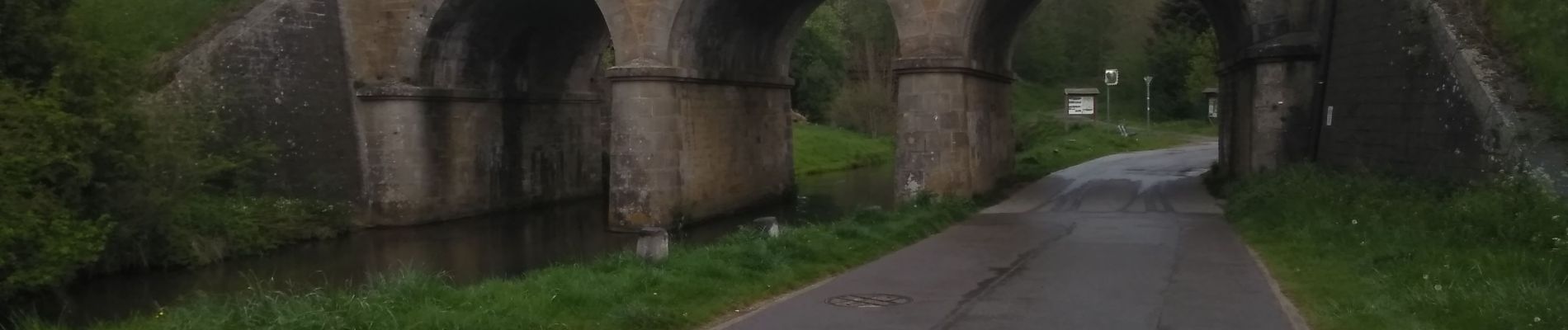
Endroits de passage: Houdrigny, Moulin de Berchiwé (la Chevratte), Chaufour, Ruisseau de Launelle, Haut Bois, Sommethonne, Bois d'Arrentement, Mont Rivaux, Couvreux et son ruisseau, Ecouviez (FR), Lamorteau, Ravel, Aux Bois (hors piste), Bois de Guéville, Bois de la Côte, La Tuilerie, Saint-Mard, Vieux-Virton, Virton.
Ref.
- http://biodiversite.wallonie.be/fr/1290-ligne-sncb-n-155-lamorteau-harnoncourt.html?IDD=251660841&highlighttext= lamorteau &IDC=1881#
- http://observatoire.biodiversite.wallonie.be/carto/sites/carte.aspx?type=sgib&id=1290
(2022.04.29)


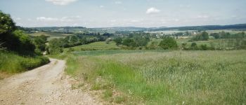
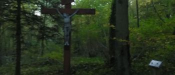
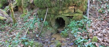
30 fotos in totaal. Klik op een foto om ze allemaal in de galerij weer te geven.

Stappen

Mountainbike

Stappen

Te voet

Stappen

Stappen

Mountainbike

Mountainbike

Mountainbike