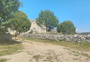
9,6 km | 13,9 km-effort
lanuejole
phisa
Gebruiker
Lengte
29 km
Max. hoogte
973 m
Positief hoogteverschil
492 m
Km-Effort
35 km
Min. hoogte
805 m
Negatief hoogteverschil
484 m
Boucle
Ja
Datum van aanmaak :
2022-05-11 20:38:16.628
Laatste wijziging :
2022-05-11 20:47:07.088
2h08
Moeilijkheid : Medium
Gratisgps-wandelapplicatie
Over ons
Tocht Mountainbike van 29 km beschikbaar op Occitanië, Aveyron, Saint-André-de-Vézines. Deze tocht wordt voorgesteld door phisa.
Plaatsbepaling
Land:
France
Regio :
Occitanië
Departement/Provincie :
Aveyron
Gemeente :
Saint-André-de-Vézines
Locatie:
Unknown
Vertrek:(Dec)
Vertrek:(UTM)
522989 ; 4887021 (31T) N.
Opmerkingen
Wandeltochten in de omgeving
J3 St Jean des Balmes Ermitage St Michel
Stappen
Gemakkelijk
(2)
Veyreau,
Occitanië,
Aveyron,
France
3h 18min
Ja
site de roquesaltes
Stappen
Gemakkelijk
Saint-André-de-Vézines,
Occitanië,
Aveyron,
France
4,6 km | 6 km-effort
3h 4min
Neen
Corniche du Causse noir (Le point sublime)
Stappen
Medium
Veyreau,
Occitanië,
Aveyron,
France
12 km | 16,6 km-effort
3h 12min
Ja
grotte pigeonnier de montmejean aller retour
Stappen
Gemakkelijk
Saint-André-de-Vézines,
Occitanië,
Aveyron,
France
3,5 km | 5,3 km-effort
1h 30min
Ja
Roque ste Marguerite rochers de Roques- Altès
Stappen
Medium
(1)
La Roque-Sainte-Marguerite,
Occitanië,
Aveyron,
France
22 km | 31 km-effort
6h 35min
Ja
47 Les rochers de Rocs Altes 14/07/24
Stappen
Moeilijk
Saint-André-de-Vézines,
Occitanië,
Aveyron,
France
12,3 km | 16,9 km-effort
6h 38min
Ja
Causses St André de Vezines à St André de Vezines
Stappen
Zeer moeilijk
Saint-André-de-Vézines,
Occitanië,
Aveyron,
France
29 km | 43 km-effort
12h 4min
Neen
Les rochers de Roques Altes
Stappen
Medium
Saint-André-de-Vézines,
Occitanië,
Aveyron,
France
6,9 km | 10,5 km-effort
2h 23min
Ja
hyelsaz
Stappen
Moeilijk
Saint-André-de-Vézines,
Occitanië,
Aveyron,
France
10,4 km | 18,2 km-effort
1h 6min
Neen