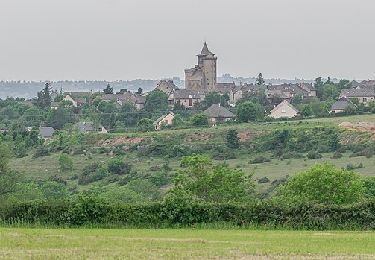
12,2 km | 16,2 km-effort
Agen 22
bouscaillou
Gebruiker
Lengte
8,4 km
Max. hoogte
774 m
Positief hoogteverschil
187 m
Km-Effort
10,9 km
Min. hoogte
598 m
Negatief hoogteverschil
186 m
Boucle
Ja
Datum van aanmaak :
2022-05-10 12:04:15.167
Laatste wijziging :
2022-05-10 14:32:25.081
2h27
Moeilijkheid : Heel gemakkelijk
Gratisgps-wandelapplicatie
Over ons
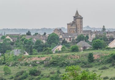
Tocht Noords wandelen van 8,4 km beschikbaar op Occitanië, Aveyron, Agen-d'Aveyron. Deze tocht wordt voorgesteld door bouscaillou.
Plaatsbepaling
Land:
France
Regio :
Occitanië
Departement/Provincie :
Aveyron
Gemeente :
Agen-d'Aveyron
Locatie:
Unknown
Vertrek:(Dec)
Vertrek:(UTM)
474627 ; 4911952 (31T) N.
Opmerkingen
Wandeltochten in de omgeving
Circuit 14 Sainte-Radegonde
Te voet
Gemakkelijk
Sainte-Radegonde,
Occitanië,
Aveyron,
France
3h 40min
Ja
Sainte-Radegonde
Te voet
Gemakkelijk
Sainte-Radegonde,
Occitanië,
Aveyron,
France
9,9 km | 13,2 km-effort
2h 59min
Ja
Rodez Agglomeration - Liaison D - Combelles-Sébazac
Mountainbike
Gemakkelijk
Sainte-Radegonde,
Occitanië,
Aveyron,
France
16 km | 18,7 km-effort
1h 14min
Neen
av cl 2024
Moto-cross
Heel gemakkelijk
Montrozier,
Occitanië,
Aveyron,
France
30 km | 42 km-effort
1h 0min
Neen
VTT Gages-Palanges Magalie 38km 750D+ 2021-06-19
Mountainbike
Medium
Montrozier,
Occitanië,
Aveyron,
France
38 km | 47 km-effort
Onbekend
Ja
Les plus beaux chemins du causse Comtal
Mountainbike
Medium
(1)
La Loubière,
Occitanië,
Aveyron,
France
30 km | 35 km-effort
2h 30min
Ja
Ortholes - Canabols
Stappen
Heel gemakkelijk
La Loubière,
Occitanië,
Aveyron,
France
8,4 km | 10 km-effort
Onbekend
Ja
Les Palanges 2
Mountainbike
Heel gemakkelijk
Agen-d'Aveyron,
Occitanië,
Aveyron,
France
13,2 km | 16,6 km-effort
Onbekend
Ja