


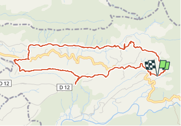

7,2 km | 11 km-effort


Gebruiker


Gratisgps-wandelapplicatie
 SityTrail
IGN / Geografische instituten
SityTrail World
De wereld gaat voor u open
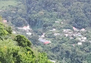
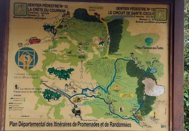
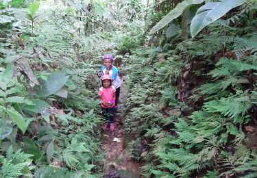
Tocht Stappen van 8 km beschikbaar op Martinique, Onbekend, Fonds-Saint-Denis. Deze tocht wordt voorgesteld door ThereseH.
Sortie familiale organisée par l'association des Mornes Denisiens
80 personnes attendues
Parcours traversant 8 quartiers de la commune de Fond St Denis
avec tronçons sur terrains privés.
Détour au niveau du col Yang Ting d'une résidente collectionneuse d'hibiscus.
Stappen

Stappen
Stappen
Stappen
Stappen
Stappen

Stappen
Stappen


sport