


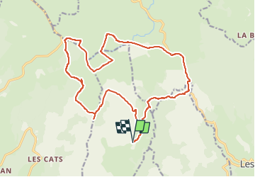

10 km | 14,6 km-effort


Gebruiker


Gratisgps-wandelapplicatie
 SityTrail
IGN / Geografische instituten
SityTrail World
De wereld gaat voor u open
Tocht Stappen van 22 km beschikbaar op Occitanië, Lozère, Trélans. Deze tocht wordt voorgesteld door CASSISFRAMBOISE.
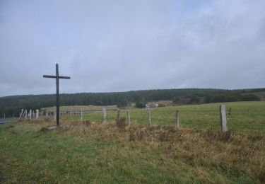
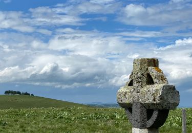
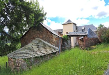
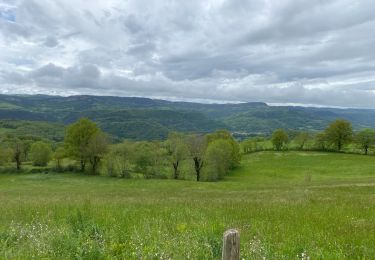
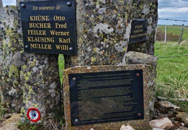
en partant en bas, donc ferme de la Plagnes, pour être vers 13 h au resto le " Relais du lac" de bonnecombe
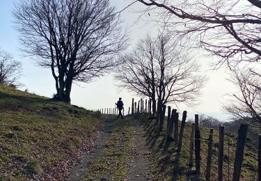
Noords wandelen
Noords wandelen
Stappen
Noords wandelen
Stappen
Stappen
Stappen
Stappen
Stappen