


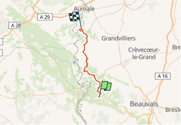

19,1 km | 24 km-effort


Gebruiker


Gratisgps-wandelapplicatie
 SityTrail
IGN / Geografische instituten
SityTrail World
De wereld gaat voor u open
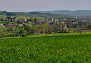
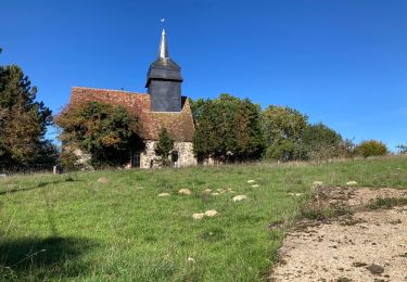
Tocht 4x4 van 43 km beschikbaar op Hauts-de-France, Oise, Blacourt. Deze tocht wordt voorgesteld door club de la bresle.

Mountainbike

Stappen
Stappen
Stappen
Stappen
Stappen
Stappen
Stappen