


7,8 km | 14,9 km-effort


Gebruiker


Gratisgps-wandelapplicatie
 SityTrail
IGN / Geografische instituten
SityTrail World
De wereld gaat voor u open
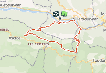
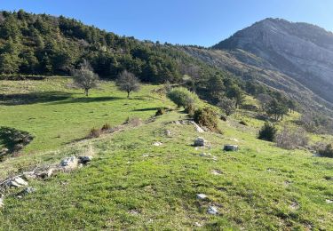
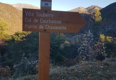
Tocht Te voet van 20 km beschikbaar op Provence-Alpes-Côte d'Azur, Alpes-Maritimes, Villars-sur-Var. Deze tocht wordt voorgesteld door ETMU5496.
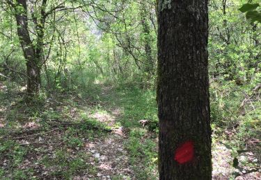
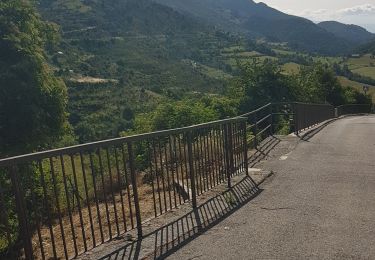
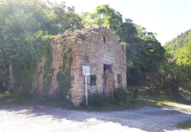
Départ du parking en bordure de la D6202, à proximité de Sainte-Pétronille à Villars-sur-Var, gare.
101 km et 1h20
IBP = 124
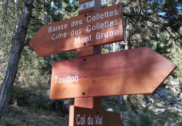
Stappen
Te voet

Te voet
Stappen
Stappen
Stappen
Stappen
Stappen
Stappen