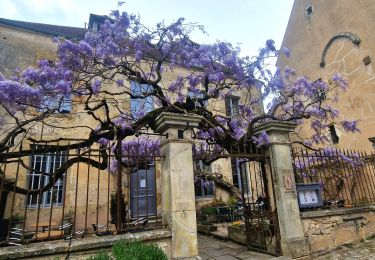
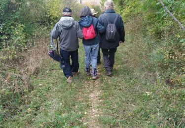
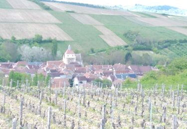
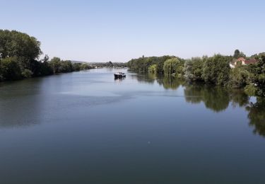
Tocht  Auxerre - 2022-04-16_12h01m06_SityTrail - 3183786 - 2022x03x28_13h59m31_randonneexauxerrexvezelay - Photo

2022-04-16_12h01m06_SityTrail - 3183786 - 2022x03x28_13h59m31_randonneexauxerrexvezelay

 aucamus
aucamus

Gebruiker

© OpenStreetMap contributors
Lengte
Lengte
56 km
Max. hoogte
Max. hoogte
297 m
Positief hoogteverschil
1346 m
Km-Effort
Km-Effort  
73 km
Min. hoogte
Min. hoogte
99 m
Negatief hoogteverschil
1203 m
Boucle
Boucle
Neen
Datum van aanmaak :
2022-04-16 10:01:06.613
Laatste wijziging :
2022-04-16 10:01:06.603

(0 Bericht)


Scan deze QR-code om de tocht te openen in de SityTrail-applicatie

Gratisgps-wandelapplicatie

Logo SityTrail SityTrail

IGN / Geografische instituten

SityTrail uit de App Store downloaden SityTrail uit Google Play downloaden

Logo SityTrail SityTrail World

De wereld gaat voor u open

SityTrail uit de App Store downloaden SityTrail uit Google Play downloaden SityTrail op Huawei AppGallery downloaden

Over ons

Tocht van 56 km beschikbaar op Bourgondië-Franche-Comté, Yonne, Auxerre. Deze tocht wordt voorgesteld door aucamus.

Beschrijving

Bonjour,

Cette année le club alpin Auxerre organise sa 51ème randonnée entre Auxerre et Vézelay, portion du chemin de Saint Jacques de Compostelle.

Un rendez-vous incontournable pour les marcheurs qui aura lieu le dimanche 17 avril 2022.

57 km pour les plus courageux, avec un départ à 5h 45 de la maison de quartier des Piedalloues, boulevard des Pyrénées, à Auxerre.
35 km : rdv à 8h15 salle du gué d'Arbaut à Cravant.
26 km : rdv à 9h45 place de la mairie à Bessy sur Cure.
21 km : rdv à 10h15 gare SNCF à Arcy sur Cure.
17 km : rdv à 10h45 à l'entrée du camping à Saint Moré.
8 ou 11 km : rdv à 13h30 au parking du gymnase à Montillot.

Nombreux ravitaillements sur le parcours.
Retour possible à votre point de départ en bus.

Informations, inscriptions et paiement sécurisé en ligne sur http://cafauxerre.ffcam.fr/


Club Alpin Français Auxerre.

Hoogteprofiel

Plaatsbepaling

Land:
France
Regio :
Bourgondië-Franche-Comté
Departement/Provincie :
Yonne
Gemeente :
Auxerre
Locatie:
Unknown
Vertrek:(UTM)
543293 ; 5292029 (31T) N.

Wandeltochten in de omgeving

Tocht Stappen Auxerre - auxerre vezelay - Photo
Stappen
GUIDE
chessyca

Stappen

Zeer moeilijk
Auxerre, Bourgondië-Franche-Comté, Yonne, France
57 km | 74 km-effort
9h 39min
Neen
Tocht Stappen Auxerre - Auxerre - Photo
Stappen
janussity

Stappen

Medium
Auxerre, Bourgondië-Franche-Comté, Yonne, France
8,9 km | 10,3 km-effort
2h 37min
Ja
Tocht Mountainbike Auxerre - auxerre chablis tonnerre gr 654 - Photo
Mountainbike
rtypoi

Mountainbike

Gemakkelijk
(2)
Auxerre, Bourgondië-Franche-Comté, Yonne, France
42 km | 52 km-effort
4h 17min
Neen
Tocht Stappen Vallan - AVF Vallan  - Photo
Stappen
gpcadu

Stappen

Medium
Vallan, Bourgondië-Franche-Comté, Yonne, France
7,9 km | 9,5 km-effort
2h 3min
Ja
Tocht Elektrische fiets Auxerre - Jussy 01052023 - Photo
Elektrische fiets
gpcadu

Elektrische fiets

Heel gemakkelijk
Auxerre, Bourgondië-Franche-Comté, Yonne, France
19,5 km | 24 km-effort
39min
Neen
Tocht Elektrische fiets Auxerre - Auxerre - Jussy 16-07-2022 - Photo
Elektrische fiets
gpcadu

Elektrische fiets

Heel gemakkelijk
Auxerre, Bourgondië-Franche-Comté, Yonne, France
15,9 km | 18,3 km-effort
55min
Neen
Tocht Elektrische fiets Auxerre - Auxerre - Vigne canal - Jussy - Photo
Elektrische fiets
gpcadu

Elektrische fiets

Heel gemakkelijk
Auxerre, Bourgondië-Franche-Comté, Yonne, France
38 km | 42 km-effort
2h 4min
Neen
Tocht Fietstoerisme Auxerre - 71 Bourgogne J5/8 - Photo
Fietstoerisme
ericf64

Fietstoerisme

Medium
Auxerre, Bourgondië-Franche-Comté, Yonne, France
81 km | 89 km-effort
10h 0min
Neen
Tocht Stappen Auxerre - venoymim - Photo
Stappen
elilil

Stappen

Moeilijk
Auxerre, Bourgondië-Franche-Comté, Yonne, France
13,2 km | 15,9 km-effort
2h 54min
Neen


Sluiten
Mijn abonnementen