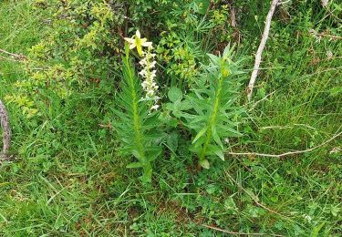
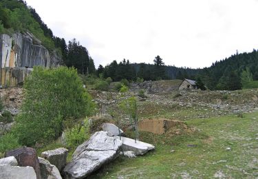
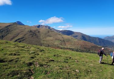
9,8 km | 14,9 km-effort
Pic de Monfaucon
alainleroyer
Gebruiker
Lengte
11,1 km
Max. hoogte
2695 m
Positief hoogteverschil
1256 m
Km-Effort
28 km
Min. hoogte
1450 m
Negatief hoogteverschil
1257 m
Boucle
Ja
Datum van aanmaak :
2022-04-10 06:19:47.631
Laatste wijziging :
2022-04-10 15:12:09.067
6h16
Moeilijkheid : Moeilijk
Gratisgps-wandelapplicatie
Over ons
Tocht Ski randonnée van 11,1 km beschikbaar op Occitanië, Hautes-Pyrénées, Ancizan. Deze tocht wordt voorgesteld door alainleroyer.
Plaatsbepaling
Land:
France
Regio :
Occitanië
Departement/Provincie :
Hautes-Pyrénées
Gemeente :
Ancizan
Locatie:
Unknown
Vertrek:(Dec)
Vertrek:(UTM)
277790 ; 4754126 (31T) N.
Opmerkingen
Wandeltochten in de omgeving
Vallée de la Gaoube
Stappen
Medium
(1)
Ancizan,
Occitanië,
Hautes-Pyrénées,
France
6,6 km | 9,1 km-effort
4h 49min
Ja
Boucle d'Espiadet
Te voet
Gemakkelijk
Campan,
Occitanië,
Hautes-Pyrénées,
France
4,2 km | 6,3 km-effort
1h 25min
Neen
Soum de Coste Oueillère
Stappen
Moeilijk
(1)
Ancizan,
Occitanië,
Hautes-Pyrénées,
France
9,6 km | 23 km-effort
4h 26min
Ja
Pic de Bassia, Pic du Castillon, Pic de Paou
Stappen
Heel gemakkelijk
(1)
Campan,
Occitanië,
Hautes-Pyrénées,
France
10,3 km | 22 km-effort
3h 52min
Neen
raquet 1
Sneeuwschoenen
Gemakkelijk
(1)
Campan,
Occitanië,
Hautes-Pyrénées,
France
4,9 km | 7,2 km-effort
2h 10min
Ja
payolle
Stappen
Heel gemakkelijk
(1)
Campan,
Occitanië,
Hautes-Pyrénées,
France
6,5 km | 8,2 km-effort
1h 52min
Ja
CAMPAN/PAYOLLE le sarrouat les huîtres et les Esclozes "3885552"
Stappen
Medium
Ancizan,
Occitanië,
Hautes-Pyrénées,
France
8 km | 11,1 km-effort
2h 31min
Ja
Les Granges esclozes
Stappen
Gemakkelijk
Ancizan,
Occitanië,
Hautes-Pyrénées,
France
30 km | 36 km-effort
2h 49min
Neen