


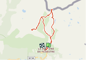


13,3 km | 20 km-effort

Gebruiker


Gratisgps-wandelapplicatie
 SityTrail
IGN / Geografische instituten
SityTrail World
De wereld gaat voor u open
Tocht Stappen van 14,5 km beschikbaar op Provence-Alpes-Côte d'Azur, Alpes-Maritimes, Saint-Martin-Vésubie. Deze tocht wordt voorgesteld door jean.marie.litzler@gmail.com.
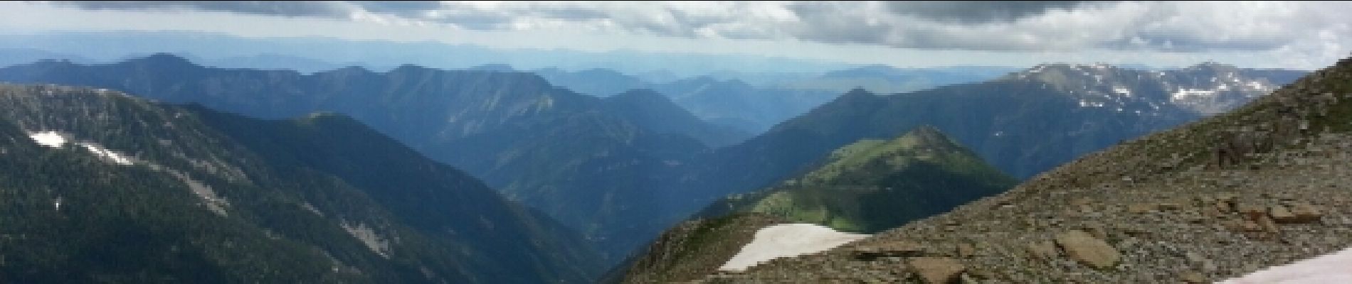
Magnifiques paysages - Italie de Fenestre - Canne et Nice depuis L'Agnellière.


29 fotos in totaal. Klik op een foto om ze allemaal in de galerij weer te geven.

Stappen

Te voet

Stappen

Stappen

Stappen

Te voet

Te voet

Te voet

Stappen