


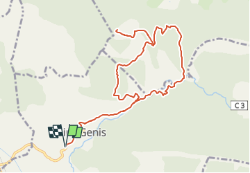


11,3 km | 23 km-effort

Gebruiker GUIDE


Gratisgps-wandelapplicatie
 SityTrail
IGN / Geografische instituten
SityTrail World
De wereld gaat voor u open
Tocht Te voet van 12,1 km beschikbaar op Provence-Alpes-Côte d'Azur, Hautes-Alpes, Garde-Colombe. Deze tocht wordt voorgesteld door Marco05.
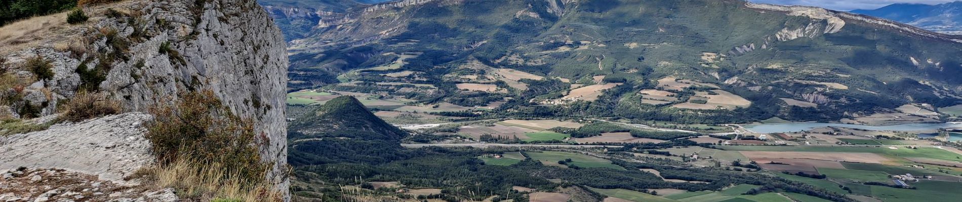
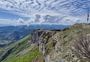
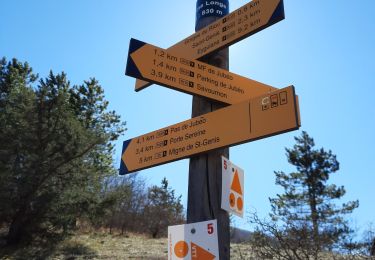
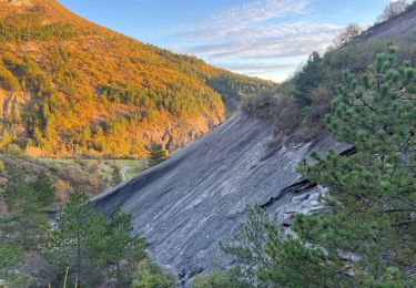
Crête de Revuaire au dessus de Savournon et du Bersac.
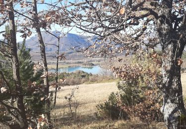
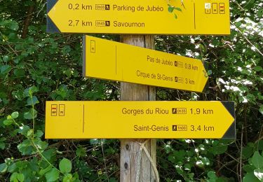
Départ de Saint-Génis en remontant les gorges du Riou.
Attention, le final pour atteindre la crête est assez raide.


Stappen
Stappen

Stappen
Stappen
Stappen
Stappen
Stappen

Mountainbike
Stappen