
paziols 19 kms

cappelle
Gebruiker

Lengte
18,6 km

Max. hoogte
483 m

Positief hoogteverschil
568 m

Km-Effort
26 km

Min. hoogte
131 m

Negatief hoogteverschil
569 m
Boucle
Ja
Datum van aanmaak :
2022-03-31 08:22:30.21
Laatste wijziging :
2022-04-02 06:43:12.678
6h00
Moeilijkheid : Medium

Gratisgps-wandelapplicatie
Over ons
Tocht Stappen van 18,6 km beschikbaar op Occitanië, Aude, Paziols. Deze tocht wordt voorgesteld door cappelle.
Beschrijving
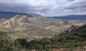
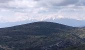
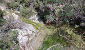
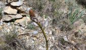
belle rando sur les crêtes et le long du ruisseau des Grazels 'chemin étroit entre les romarins , pour le pique nique ,a l'abri du vent , plusieurs passages à gué ,très sympa . calcul IBP index difficulté : 66
Plaatsbepaling
Land:
France
Regio :
Occitanië
Departement/Provincie :
Aude
Gemeente :
Paziols
Locatie:
Unknown
Vertrek:(Dec)
Vertrek:(UTM)
476897 ; 4745111 (31T) N.
Opmerkingen
Wandeltochten in de omgeving
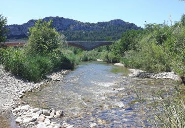
Tautavel chemin des bacs


Stappen
Gemakkelijk
(3)
Tautavel,
Occitanië,
Pyrénées-Orientales,
France

9,5 km | 12,4 km-effort
2h 30min
Ja
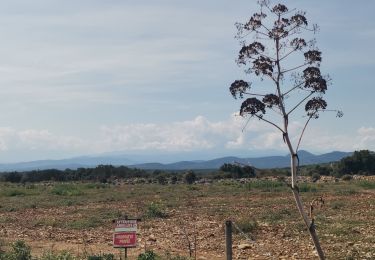
Vingrau


Stappen
Medium
Vingrau,
Occitanië,
Pyrénées-Orientales,
France

15,5 km | 22 km-effort
4h 20min
Ja
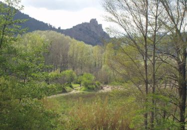
En Corbières - Le Château - Padern


Stappen
Gemakkelijk
(1)
Padern,
Occitanië,
Aude,
France

2,6 km | 4,6 km-effort
1h 30min
Ja
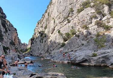
les gorges . tautavel par les vignes .. retour par la vallée


Stappen
Gemakkelijk
Tautavel,
Occitanië,
Pyrénées-Orientales,
France

8,2 km | 11 km-effort
2h 57min
Neen
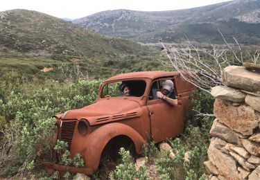
20220310 Tuchan-Padern


Stappen
Medium
Tuchan,
Occitanië,
Aude,
France

23 km | 34 km-effort
5h 16min
Ja
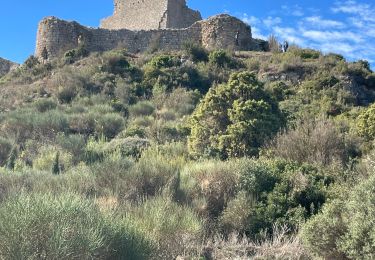
Paziols château d’aguilra


Stappen
Heel gemakkelijk
Paziols,
Occitanië,
Aude,
France

15,1 km | 18,8 km-effort
4h 4min
Ja
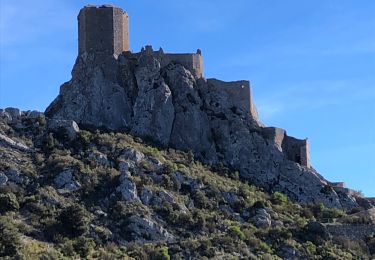
20211007 Tuchan-Padern-Queribus-Cucugnan


Stappen
Medium
Tuchan,
Occitanië,
Aude,
France

25 km | 37 km-effort
5h 58min
Neen
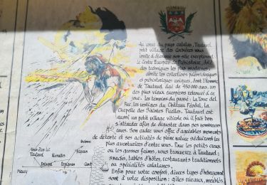
TAUTAVEL la Tour del Far A/R


Stappen
Medium
Tautavel,
Occitanië,
Pyrénées-Orientales,
France

6,3 km | 11,4 km-effort
3h 55min
Ja
Tautavel -Torre del Far


Stappen
Medium
(2)
Tautavel,
Occitanië,
Pyrénées-Orientales,
France

9,5 km | 15,4 km-effort
3h 1min
Ja


 SityTrail


