


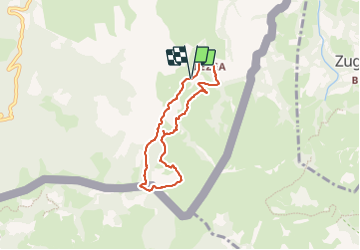

6,7 km | 10,8 km-effort

Gebruiker


Gratisgps-wandelapplicatie
 SityTrail
IGN / Geografische instituten
SityTrail World
De wereld gaat voor u open
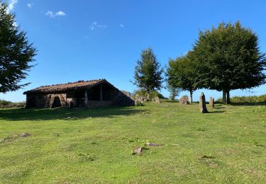
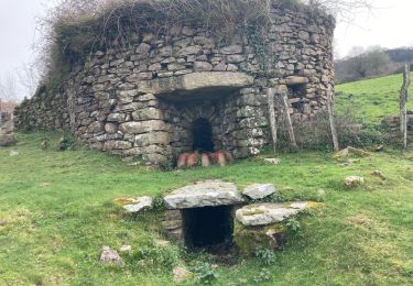
Tocht Stappen van 6,4 km beschikbaar op Nieuw-Aquitanië, Pyrénées-Atlantiques, Sare. Deze tocht wordt voorgesteld door jaja64.
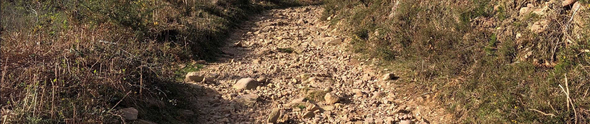
Agréable petite boucle sur les hauteurs de Sare. Le départ ce fait depuis le tout premier parking du bas; avant l'entré des grottes.


Te voet
Te voet

Stappen

Stappen

Stappen
Stappen
Stappen
Stappen
Stappen