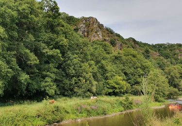
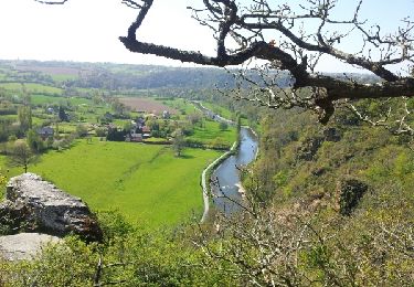
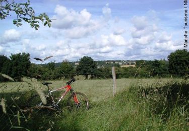
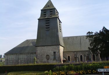
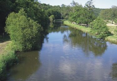
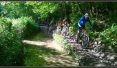
Tocht Mountainbike Bourgvallées - La Samsonnaise 2014 - Photo

La Samsonnaise 2014

 tracegps
tracegps

Gebruiker

© OpenStreetMap contributors
Lengte
Lengte
47 km
Max. hoogte
Max. hoogte
170 m
Positief hoogteverschil
735 m
Km-Effort
Km-Effort  
57 km
Min. hoogte
Min. hoogte
45 m
Negatief hoogteverschil
734 m
Boucle
Boucle
Ja
Datum van aanmaak :
2014-12-10 00:00:00.0
Laatste wijziging :
2014-12-10 00:00:00.0

(0 Bericht)

Mountainbike
Mountainbike
3h25
Moeilijkheid : Moeilijk

Scan deze QR-code om de tocht te openen in de SityTrail-applicatie

Gratisgps-wandelapplicatie

Logo SityTrail SityTrail

IGN / Geografische instituten

SityTrail uit de App Store downloaden SityTrail uit Google Play downloaden

Logo SityTrail SityTrail World

De wereld gaat voor u open

SityTrail uit de App Store downloaden SityTrail uit Google Play downloaden SityTrail op Huawei AppGallery downloaden

Over ons

Tocht Mountainbike van 47 km beschikbaar op Normandië, Manche, Bourgvallées. Deze tocht wordt voorgesteld door tracegps.

Beschrijving

C'est un circuit très technique par ses différents dénivelés... Il reste accessible aux vététistes confirmés. Vous découvrirez ses beaux paysages dans toute leur splendeur... Attention circuit à ne pas faire lors de grosses pluies précédent votre rando... à moins que vous n'aimiez la boue. À bon entendeur.

Hoogteprofiel

Foto's

Plaatsbepaling

Land:
France
Regio :
Normandië
Departement/Provincie :
Manche
Gemeente :
Bourgvallées
Locatie:
Saint-Samson-de-Bonfossé
Vertrek:(Dec)
Vertrek:(UTM)
636992 ; 5434292 (30U) N.

Wandeltochten in de omgeving

Tocht Stappen Condé-sur-Vire - Le rocher de Ham - Photo
Stappen
prv

Stappen

Gemakkelijk
(1)
Condé-sur-Vire, Normandië, Manche, France
10,9 km | 13,4 km-effort
2h 24min
Ja
Tocht Stappen Condé-sur-Vire - Roches de ham - Photo
Stappen
phi14

Stappen

Gemakkelijk
(1)
Condé-sur-Vire, Normandië, Manche, France
11,1 km | 13,5 km-effort
2h 58min
Ja
Tocht Mountainbike Domjean - Au coeur de la vallée de la Vire - Photo
Mountainbike
tracegps

Mountainbike

Moeilijk
(2)
Domjean, Normandië, Manche, France
32 km | 39 km-effort
4h 0min
Ja
Tocht Stappen Canisy - Le circuit Jean Follain - Canisy - Photo
Stappen
tracegps

Stappen

Medium
Canisy, Normandië, Manche, France
9,2 km | 10,9 km-effort
2h 19min
Ja
Tocht Mountainbike Moyon-Villages - Le Mesnil-Opac C12-II  - Photo
Mountainbike
tracegps

Mountainbike

Gemakkelijk
Moyon-Villages, Normandië, Manche, France
7,2 km | 8,4 km-effort
45min
Ja
Tocht Stappen Moyon-Villages - Le Mesnil-Opac C12-II  - Photo
Stappen
tracegps

Stappen

Gemakkelijk
Moyon-Villages, Normandië, Manche, France
7,2 km | 8,4 km-effort
1h 49min
Ja
Tocht Mountainbike Moyon-Villages - Le Mesnil-Opac C12-I - Photo
Mountainbike
tracegps

Mountainbike

Gemakkelijk
Moyon-Villages, Normandië, Manche, France
7,9 km | 9,2 km-effort
45min
Ja
Tocht Stappen Moyon-Villages - Le Mesnil-Opac C12-I - Photo
Stappen
tracegps

Stappen

Gemakkelijk
Moyon-Villages, Normandië, Manche, France
7,9 km | 9,2 km-effort
2h 0min
Ja
Tocht Mountainbike Condé-sur-Vire - Boucle de Troisgots - C5 I           - Photo
Mountainbike
tracegps

Mountainbike

Gemakkelijk
Condé-sur-Vire, Normandië, Manche, France
10,6 km | 12,8 km-effort
1h 10min
Ja


Sluiten
Mijn abonnementen