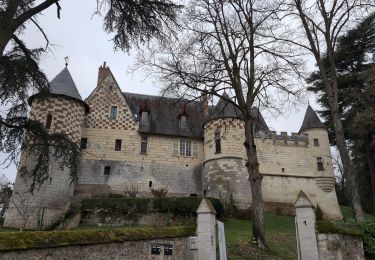
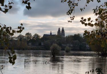
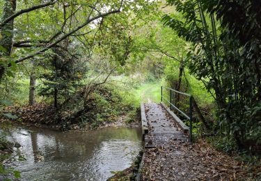
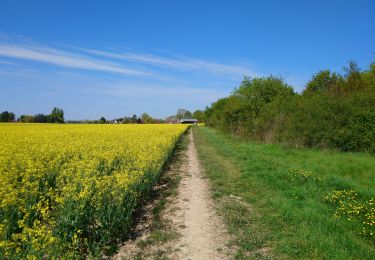
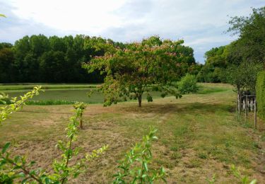
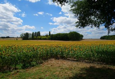
Tocht Mountainbike Saint-Cyr-sur-Loire - Le Dolmen de Mettray - Buisson Boué - Photo

Le Dolmen de Mettray - Buisson Boué

 tracegps
tracegps

Gebruiker

© OpenStreetMap contributors
Lengte
Lengte
11,6 km
Max. hoogte
Max. hoogte
108 m
Positief hoogteverschil
154 m
Km-Effort
Km-Effort  
13,7 km
Min. hoogte
Min. hoogte
56 m
Negatief hoogteverschil
153 m
Boucle
Boucle
Ja
Datum van aanmaak :
2014-12-10 00:00:00.0
Laatste wijziging :
2014-12-10 00:00:00.0

(1 Bericht)

Mountainbike
Mountainbike
2h00
Moeilijkheid : Medium

Scan deze QR-code om de tocht te openen in de SityTrail-applicatie

Gratisgps-wandelapplicatie

Logo SityTrail SityTrail

IGN / Geografische instituten

SityTrail uit de App Store downloaden SityTrail uit Google Play downloaden

Logo SityTrail SityTrail World

De wereld gaat voor u open

SityTrail uit de App Store downloaden SityTrail uit Google Play downloaden SityTrail op Huawei AppGallery downloaden

Over ons

Tocht Mountainbike van 11,6 km beschikbaar op Centre-Val de Loire, Indre-et-Loire, Saint-Cyr-sur-Loire. Deze tocht wordt voorgesteld door tracegps.

Beschrijving

Le Dolmen de la Grotte aux Fées ou Dolmen de Mettray se situe au lieu-dit Moulin de Rechausse, à Saint-Antoine-du-Rocher. Il est classé monument historique par journal officiel du 18 avril 1914 ; le site de la Grotte aux Fées a été inscrit par arrêté en 19431. Il est propriété de la commune de Saint-Antoine-du-Rocher. Construit il y a 4000 ans, il mesure près de 11 mètres et les douze pierres qui le composent pèsent environ 88 tonnes. Trois créatures féminines auraient bâti l'édifice en une nuit ; si l'on s'avisait de déplacer les pierres, celles-ci reprendraient leur place en une nuit. Une autre tradition veut que les fées aient élu domicile à l'intérieur du dolmen.

Hoogteprofiel

Foto's

Plaatsbepaling

Land:
France
Regio :
Centre-Val de Loire
Departement/Provincie :
Indre-et-Loire
Gemeente :
Saint-Cyr-sur-Loire
Locatie:
Unknown
Vertrek:(Dec)
Vertrek:(UTM)
322436 ; 5255681 (31T) N.

Opmerkingen

Gelieve in te loggen om een commentaar of een beoordeling achter te laten


beaucoup de goudron pour du Vtt


Wandeltochten in de omgeving

Tocht Stappen Fondettes - Fondettes Vallières - Luynes Le Vieux-Bourg - 26.1km 360m 5h30 (45mn) - 2024 12 11 - Photo
Stappen
GUIDE
Orcal37

Stappen

Medium
Fondettes, Centre-Val de Loire, Indre-et-Loire, France
26 km | 31 km-effort
5h 30min
Ja
Tocht Stappen Fondettes - Fondettes Gare - Saint-Cyr-sur-Loire Tours - 23.4km 345m 5h10 (40mn) - 2024 10 27 - Photo
Stappen
GUIDE
Orcal37

Stappen

Gemakkelijk
Fondettes, Centre-Val de Loire, Indre-et-Loire, France
23 km | 28 km-effort
5h 10min
Ja
Tocht Stappen Saint-Cyr-sur-Loire - Saint-Cyr-sur-Loire la Gagnerie - la Membrolle-sur-Choisille Mettray - 24km 405m 5h15 (50mn) - 2024 10 20 - Photo
Stappen
GUIDE
Orcal37

Stappen

Medium
Saint-Cyr-sur-Loire, Centre-Val de Loire, Indre-et-Loire, France
24 km | 29 km-effort
5h 15min
Ja
Tocht Stappen Fondettes - Fondettes Charcenay - Sentier Val de Choisille avec variantes - 23.5km 335m 5h10 (55mn) - 2024 10 13 - Photo
Stappen
GUIDE
Orcal37

Stappen

Gemakkelijk
Fondettes, Centre-Val de Loire, Indre-et-Loire, France
23 km | 28 km-effort
5h 10min
Ja
Tocht Stappen Saint-Pierre-des-Corps - Saint-Pierre-des-Corps - PR Sentier du bord de Loire avec variantes - 13.6km 75m 2h55 (30mn) - 2023 10 22 - Photo
Stappen
GUIDE
Orcal37

Stappen

Gemakkelijk
Saint-Pierre-des-Corps, Centre-Val de Loire, Indre-et-Loire, France
13,6 km | 14,7 km-effort
2h 55min
Ja
Tocht Stappen Tours (Indre-et-Loire) - Tours - Bd Béranger La Riche - 8.8km 45m 2h00 - 2022 09 12 - Photo
Stappen
GUIDE
Orcal37

Stappen

Heel gemakkelijk
Tours (Indre-et-Loire), Centre-Val de Loire, Indre-et-Loire, France
8,8 km | 9,4 km-effort
2h 0min
Ja
Tocht Stappen Fondettes - Fondettes - Impro 4 communes - 21.6km 200m 4h40 (30mn) - 2021 04 24 - Photo
Stappen
GUIDE
Orcal37

Stappen

Gemakkelijk
Fondettes, Centre-Val de Loire, Indre-et-Loire, France
22 km | 24 km-effort
4h 40min
Ja
Tocht Stappen Charentilly - Charentilly - Circuit 2 avec variante - 14.8km 135m 3h05 - 2020 08 15 - Photo
Stappen
GUIDE
Orcal37

Stappen

Gemakkelijk
Charentilly, Centre-Val de Loire, Indre-et-Loire, France
14,8 km | 16,6 km-effort
3h 5min
Ja
Tocht Stappen Mettray - Mettray - Dolmen - 12.9km 160m 2h40 - 2020 07 26 - Photo
Stappen
GUIDE
Orcal37

Stappen

Gemakkelijk
Mettray, Centre-Val de Loire, Indre-et-Loire, France
12,9 km | 15 km-effort
2h 40min
Ja


Sluiten
Mijn abonnementen