


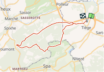

10,1 km | 13,3 km-effort

Gebruiker


Gratisgps-wandelapplicatie
 SityTrail
IGN / Geografische instituten
SityTrail World
De wereld gaat voor u open
Tocht Stappen van 16,2 km beschikbaar op Wallonië, Luik, Jalhay. Deze tocht wordt voorgesteld door Cyril Nicolay.
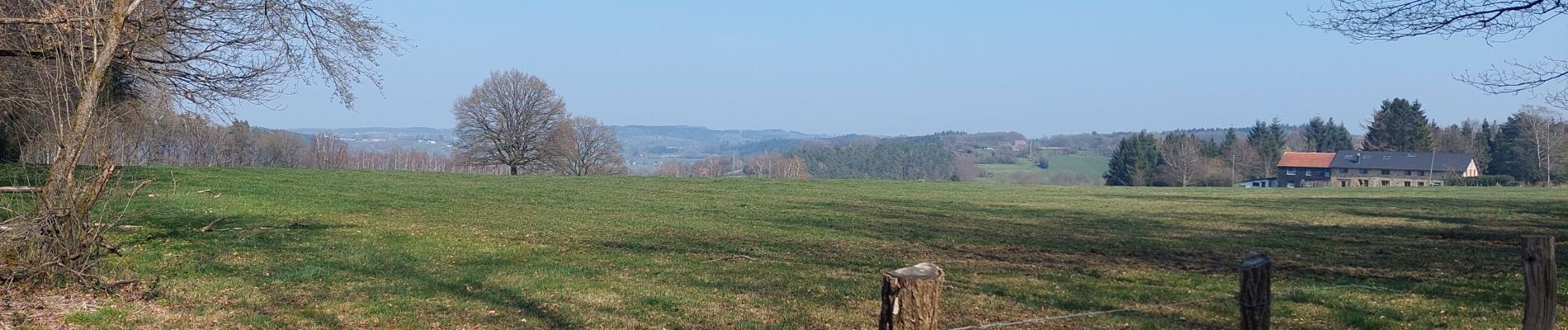
1ere partie sur chemin forestier
grande montée au milieu
2eme partie chemin asphalte dans la forêt (plat mais pas naturelle)


Stappen

Stappen

Stappen

Stappen

Fiets

Elektrische fiets

Stappen

Stappen

Te voet