


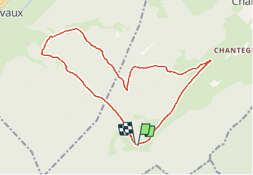

10,4 km | 13,8 km-effort

Gebruiker


Gratisgps-wandelapplicatie
 SityTrail
IGN / Geografische instituten
SityTrail World
De wereld gaat voor u open
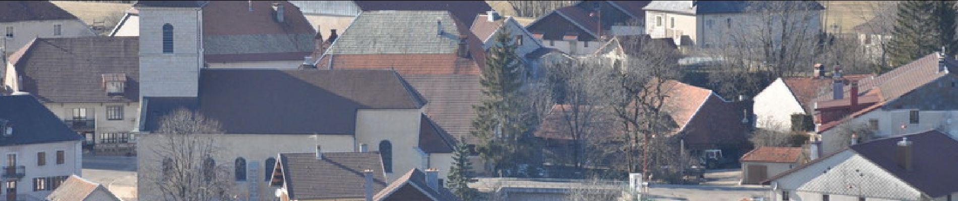
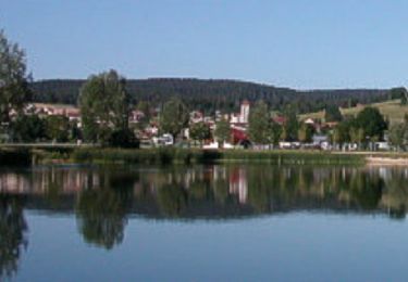
Tocht Stappen van 9,3 km beschikbaar op Bourgondië-Franche-Comté, Doubs, Vaux-et-Chantegrue. Deze tocht wordt voorgesteld door tracegps.
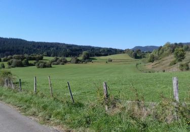
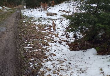
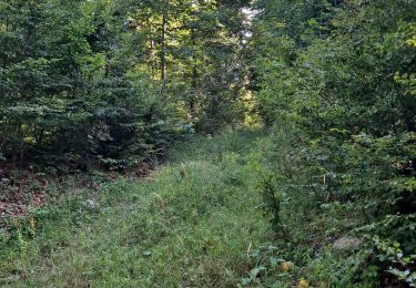
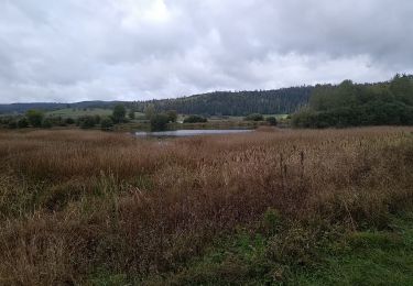
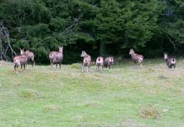
L'accès est très simple et vous ne risquez pas d'être dérangés par la foule. La rando traverse tous les milieux caractéristiques du Haut-Doubs, forêt de conifères, pâtures.


Stappen

Stappen
Stappen
Stappen
Stappen

Stappen
Mountainbike

Stappen
Lopen