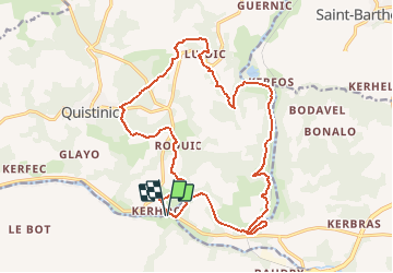

6,6 km | 7,4 km-effort

Gebruiker


Gratisgps-wandelapplicatie
 SityTrail
IGN / Geografische instituten
SityTrail World
De wereld gaat voor u open
Tocht Paard van 20 km beschikbaar op Bretagne, Morbihan, Languidic. Deze tocht wordt voorgesteld door tracegps.
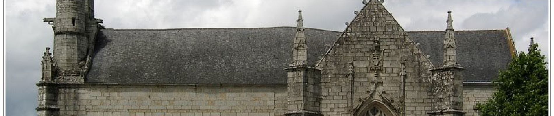
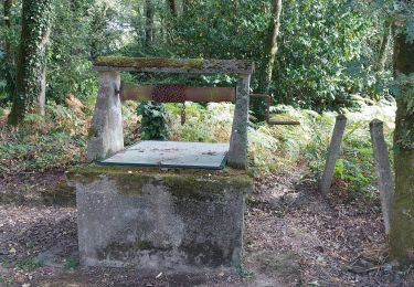
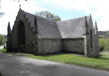
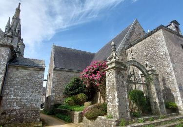
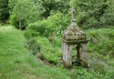
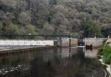
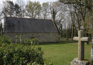
Magnifique petite boucle pour une rando sympa à cheval. Départ de Pont Augan, à travers bois pour rejoindre le village du Roduic puis le bourg de Quistinic et Locmaria et sa superbe chapelle. Retour par St Adrien, en empruntant des chemins à travers bois puis en longeant et surplombant le Blavet. Une belle petite rando de 3h environ. Il est possible d'emprunter d'autres circuits à partir de Quistinic ...


Stappen
Te voet
Stappen
Stappen
Stappen
Stappen
Stappen
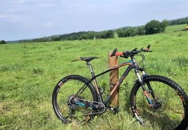
Paard