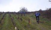
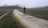
Tocht Mountainbike La Ville-aux-Dames - Gynépolitaine 2014 - Cinq Mars la Pile - Photo

Gynépolitaine 2014 - Cinq Mars la Pile

 tracegps
tracegps

Gebruiker

© OpenStreetMap contributors
Lengte
Lengte
52 km
Max. hoogte
Max. hoogte
112 m
Positief hoogteverschil
442 m
Km-Effort
Km-Effort  
58 km
Min. hoogte
Min. hoogte
44 m
Negatief hoogteverschil
442 m
Boucle
Boucle
Ja
Datum van aanmaak :
2014-12-10 00:00:00.0
Laatste wijziging :
2014-12-10 00:00:00.0

(1 Bericht)

Mountainbike
Mountainbike
3h00
Moeilijkheid : Moeilijk

Scan deze QR-code om de tocht te openen in de SityTrail-applicatie

Gratisgps-wandelapplicatie

Logo SityTrail SityTrail

IGN / Geografische instituten

SityTrail uit de App Store downloaden SityTrail uit Google Play downloaden

Logo SityTrail SityTrail World

De wereld gaat voor u open

SityTrail uit de App Store downloaden SityTrail uit Google Play downloaden SityTrail op Huawei AppGallery downloaden

Over ons

Tocht Mountainbike van 52 km beschikbaar op Centre-Val de Loire, Indre-et-Loire, La Ville-aux-Dames. Deze tocht wordt voorgesteld door tracegps.

Beschrijving

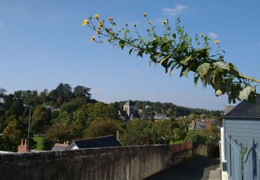
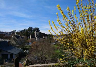
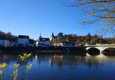
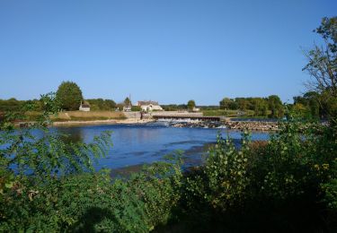
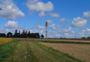
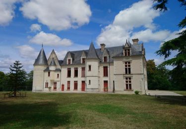
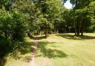
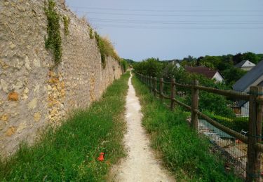
Parcours de la rando VTT La Gynépolitaine, édition 2014. Départ du centre sportif de Cinq Mars la Pile (1 rue Colette). Débute par les rives de la Loire avant d'attaquer le coteau. Peu de difficultés techniques, mais quelques raidillons, dont la côte de la Barre, qui nécessitent d'être entrainé. Tracé qui chemine dans les vignes de Vouvray et les champs, notamment sur la commune de St Martin le Beau. Beaucoup de forêt, mais avec malheureusement trop peu de single-tracks et quelques portions goudronnées pour contourner les inondations hivernales. Crédit photos; Etoile Sportive de la Ville aux Dames .

Hoogteprofiel

Foto's

Plaatsbepaling

Land:
France
Regio :
Centre-Val de Loire
Departement/Provincie :
Indre-et-Loire
Gemeente :
La Ville-aux-Dames
Locatie:
Unknown
Vertrek:(Dec)
Vertrek:(UTM)
331824 ; 5251837 (31T) N.

Opmerkingen

Gelieve in te loggen om een commentaar of een beoordeling achter te laten


Wandeltochten in de omgeving

Tocht Stappen Tours (Indre-et-Loire) - Tours - Marmoutier GR3 GR655 Rochecorbon - 8.2km 105m 1h50 - 2021 10 09 - Photo
Stappen
GUIDE
Orcal37

Stappen

Heel gemakkelijk
(1)
Tours (Indre-et-Loire), Centre-Val de Loire, Indre-et-Loire, France
8,2 km | 9,6 km-effort
1h 50min
Ja
Tocht Stappen Rochecorbon - Rochecorbon - Zig zag autour de Rochecorbon - 17km 295m 3h50 - 2024 03 13 - Photo
Stappen
GUIDE
Orcal37

Stappen

Medium
Rochecorbon, Centre-Val de Loire, Indre-et-Loire, France
17,1 km | 21 km-effort
3h 50min
Ja
Tocht Stappen Véretz - Véretz - PR Sentier de Bacchus - 14.9km 90m 3h00 - 2023 11 25 - Photo
Stappen
GUIDE
Orcal37

Stappen

Gemakkelijk
Véretz, Centre-Val de Loire, Indre-et-Loire, France
14,9 km | 16,1 km-effort
3h 0min
Ja
Tocht Stappen Saint-Pierre-des-Corps - Saint-Pierre-des-Corps - PR Sentier du bord de Loire avec variantes - 13.6km 75m 2h55 (30mn) - 2023 10 22 - Photo
Stappen
GUIDE
Orcal37

Stappen

Gemakkelijk
Saint-Pierre-des-Corps, Centre-Val de Loire, Indre-et-Loire, France
13,6 km | 14,7 km-effort
2h 55min
Ja
Tocht Stappen Montlouis-sur-Loire - Montlouis-sur-Loire - gare GR41 Veretz Azay-sur-Cher - 13km 85m 2h45 - 2023 10 07 - Photo
Stappen
GUIDE
Orcal37

Stappen

Gemakkelijk
Montlouis-sur-Loire, Centre-Val de Loire, Indre-et-Loire, France
13 km | 14,2 km-effort
2h 45min
Ja
Tocht Stappen Parçay-Meslay - Parcay-Meslay - lieu-dit le Houdeau de Monnaie - 21.3km 190m 4h50 (50mn) - 2023 08 27 - Photo
Stappen
GUIDE
Orcal37

Stappen

Gemakkelijk
Parçay-Meslay, Centre-Val de Loire, Indre-et-Loire, France
21 km | 24 km-effort
4h 50min
Ja
Tocht Stappen Saint-Avertin - Saint-Avertin - PR Sentier du vieux Cher, Cangé - 9.3km 95m 2h05 (20mn) - 2023 07 12 - Photo
Stappen
GUIDE
Orcal37

Stappen

Gemakkelijk
Saint-Avertin, Centre-Val de Loire, Indre-et-Loire, France
9,3 km | 10,5 km-effort
2h 5min
Ja
Tocht Stappen Montlouis-sur-Loire - Montlouis-sur-Loire - PR Sur les pas de Gabrielle d'Estrées - 9.5km 100m 2h20 - 2023 07 08 - Photo
Stappen
GUIDE
Orcal37

Stappen

Gemakkelijk
Montlouis-sur-Loire, Centre-Val de Loire, Indre-et-Loire, France
9,5 km | 10,9 km-effort
2h 20min
Ja
Tocht Stappen Vouvray - Vouvray - PR balisé en bleu - 15.1km 125m 3h30 - 2023 06 28 - Photo
Stappen
GUIDE
Orcal37

Stappen

Gemakkelijk
Vouvray, Centre-Val de Loire, Indre-et-Loire, France
15,1 km | 16,8 km-effort
3h 30min
Ja


Sluiten
Mijn abonnementen