


28 km | 36 km-effort

Gebruiker


Gratisgps-wandelapplicatie
 SityTrail
IGN / Geografische instituten
SityTrail World
De wereld gaat voor u open
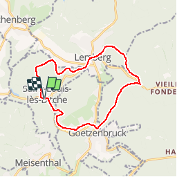
Tocht Stappen van 13,1 km beschikbaar op Grand Est, Moselle, Saint-Louis-lès-Bitche. Deze tocht wordt voorgesteld door tracegps.
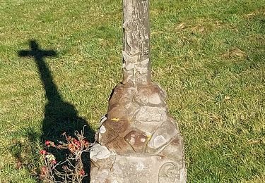
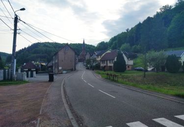
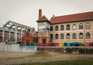
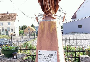
Saint-Louis-Lès-Bitche et le pays du verre et du cristal : Départ au parking devant le musée de la cristallerie de Saint-Louis-lès-Bitche. Suivre le balisage disque vert, montée par les escaliers vers la statue du Sacré-Cœur. Vue panoramique sur le village. Continuer la montée jusqu’à la plateforme de l’ancienne voie ferrée militaire de la Ligne Maginot et y rester. Tourner à droite (non balisé) à l’abri des chasseurs et se diriger vers Lemberg. Au km 3,4 jonction avec le balisage rectangle jaune-blanc-jaune que l’on suit. A partir de la Poste de Lemberg, suivre le balisage disque vert et descendre à la Bildmuehle, ancien hameau disparu avec sculpture gallo-romaine dans la cave du moulin. Continuer jusqu’à l’ancienne ferme du Jockelshof et commencer la montée vers Goetzenbruck. Dans la traversée du village, passer le long des bâtiments de l’ancienne verrerie et de la chapelle des verriers. Toujours sur disque vert, descendre vers Saint-Louis par le Klabacherthal.


Paardrijden
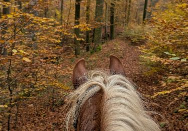
Paardrijden
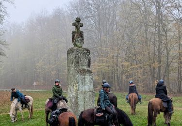
Paardrijden
Te voet
Te voet
Te voet
Te voet
Te voet
Te voet
As tu vérifier les chemins ? ?Car certains chemins et sentier de ton Sity guide n'existent pas:(