Tocht Stappen Les Lèves-et-Thoumeyragues - Les Lèves par La Tour - Photo
 tracegps
tracegps

Gebruiker

© OpenStreetMap contributors
Lengte
Lengte
11,2 km
Max. hoogte
Max. hoogte
107 m
Positief hoogteverschil
176 m
Km-Effort
Km-Effort  
13,6 km
Min. hoogte
Min. hoogte
47 m
Negatief hoogteverschil
178 m
Boucle
Boucle
Ja
Datum van aanmaak :
2014-12-10 00:00:00.0
Laatste wijziging :
2014-12-10 00:00:00.0

(0 Bericht)

Stappen
Stappen
2h49
Moeilijkheid : Medium

Scan deze QR-code om de tocht te openen in de SityTrail-applicatie

Gratisgps-wandelapplicatie

Logo SityTrail SityTrail

IGN / Geografische instituten

SityTrail uit de App Store downloaden SityTrail uit Google Play downloaden

Logo SityTrail SityTrail World

De wereld gaat voor u open

SityTrail uit de App Store downloaden SityTrail uit Google Play downloaden SityTrail op Huawei AppGallery downloaden

Over ons

Tocht Stappen van 11,2 km beschikbaar op Nieuw-Aquitanië, Gironde, Les Lèves-et-Thoumeyragues. Deze tocht wordt voorgesteld door tracegps.

Beschrijving

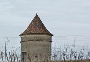
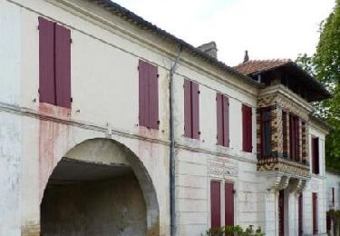
Le circuit de randonnée, qui débute du parking de Les Lèves, passe parmi les vignes principalement, un peu les vergers de pruniers et les bois... Dans cette balade de plus de 11 km, le promeneur profite d’un beau panorama (dénivelé de 103m) et peut admirer des hameaux typiques de la région et des demeures bien restaurées. Retrouvez d'autres photos et le descriptif du circuit sur le site de «NatureLN».

Hoogteprofiel

Foto's

Plaatsbepaling

Land:
France
Regio :
Nieuw-Aquitanië
Departement/Provincie :
Gironde
Gemeente :
Les Lèves-et-Thoumeyragues
Locatie:
Unknown
Vertrek:(Dec)
Vertrek:(UTM)
276374 ; 4963817 (31T) N.

Wandeltochten in de omgeving

Tocht Stappen Les Lèves-et-Thoumeyragues - Le circuit des moulins  -   Les Lèves-et-Thoumeyragues  - Photo
Stappen
tracegps

Stappen

Medium
(2)
Les Lèves-et-Thoumeyragues, Nieuw-Aquitanië, Gironde, France
10,3 km | 12,8 km-effort
2h 34min
Ja
Tocht Stappen Eynesse - Randonnée à Eynesse - Photo
Stappen
tracegps

Stappen

Gemakkelijk
Eynesse, Nieuw-Aquitanië, Gironde, France
3,9 km | 5,1 km-effort
1h 0min
Ja
Tocht Stappen Les Lèves-et-Thoumeyragues - les leves - Photo
Stappen
leglisemichel

Stappen

Heel gemakkelijk
Les Lèves-et-Thoumeyragues, Nieuw-Aquitanië, Gironde, France
11,1 km | 13,7 km-effort
3h 5min
Ja
Tocht Stappen Saint-Quentin-de-Caplong - De St Quentin de Caplong à Monsegur puis Coutures - Photo
Stappen
Jean Laversanne

Stappen

Zeer moeilijk
Saint-Quentin-de-Caplong, Nieuw-Aquitanië, Gironde, France
33 km | 39 km-effort
6h 43min
Neen
Tocht Noords wandelen Sainte-Foy-la-Grande - Ste Foy-la-Grande à Pellegrue - Photo
Noords wandelen
BOUMA

Noords wandelen

Moeilijk
Sainte-Foy-la-Grande, Nieuw-Aquitanië, Gironde, France
24 km | 28 km-effort
5h 8min
Neen
Tocht Stappen Pineuilh - Port Ste Foy la Grande     Saint Ferme - Photo
Stappen
Lionel_72

Stappen

Gemakkelijk
Pineuilh, Nieuw-Aquitanië, Gironde, France
23 km | 29 km-effort
4h 53min
Neen
Tocht Stappen Riocaud - Riocaud - Pellegrue  - Photo
Stappen
leglisemichel

Stappen

Riocaud, Nieuw-Aquitanië, Gironde, France
20 km | 24 km-effort
6h 33min
Neen


Sluiten
Mijn abonnementen