


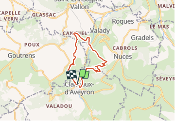

11,3 km | 16 km-effort

Gebruiker


Gratisgps-wandelapplicatie
 SityTrail
IGN / Geografische instituten
SityTrail World
De wereld gaat voor u open
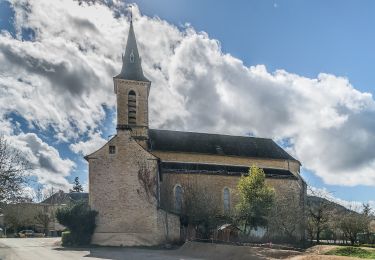
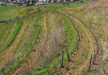
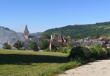
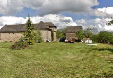
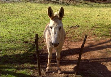
Tocht Stappen van 11,7 km beschikbaar op Occitanië, Aveyron, Clairvaux-d'Aveyron. Deze tocht wordt voorgesteld door ZITO12.
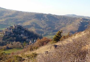
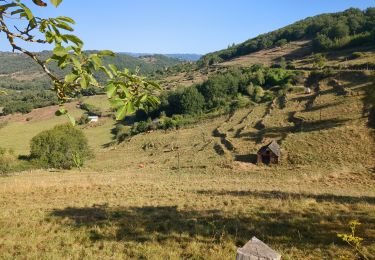
Rando dans les vignes du Marcillac la plupart du temps chemins dominant avec de belles vues. Le jour de l'enregistrement le temps était couvert. Par soleil c'est magnifique.


Te voet
Te voet
Te voet
Stappen
Stappen
Stappen
Stappen
Stappen
Stappen