


8,2 km | 9,5 km-effort

Gebruiker


Gratisgps-wandelapplicatie
 SityTrail
IGN / Geografische instituten
SityTrail World
De wereld gaat voor u open
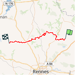
Tocht Paard van 71 km beschikbaar op Bretagne, Ille-et-Vilaine, Mézières-sur-Couesnon. Deze tocht wordt voorgesteld door tracegps.
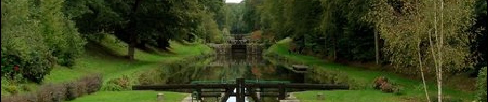
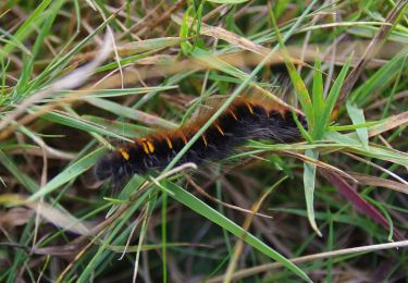
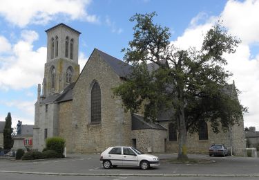
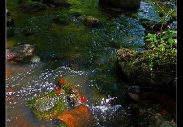
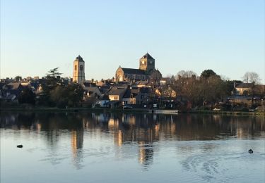
Canal d'Ille-et-Rance, Rigole, Boulet vous mèneront sur des secteurs avec une nature très préservée et des paysages bucoliques. Tantôt un patrimoine naturel diversifié, tantôt un patrimoine bâti où la pierre règne (cité du livre de Bécherel).


Te voet
Te voet

Stappen
Stappen
Stappen
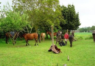
Paard
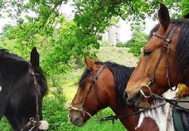
Paard
Stappen
Stappen