


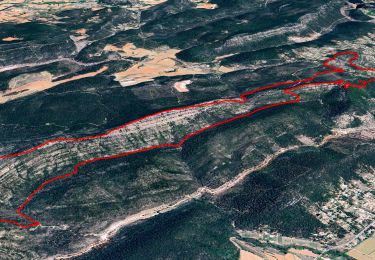
14,2 km | 18,1 km-effort

Gebruiker


Gratisgps-wandelapplicatie
 SityTrail
IGN / Geografische instituten
SityTrail World
De wereld gaat voor u open
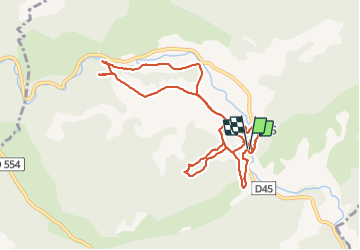
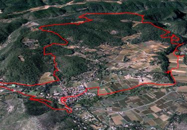
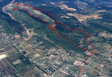
Tocht Stappen van 11,9 km beschikbaar op Provence-Alpes-Côte d'Azur, Var, Correns. Deze tocht wordt voorgesteld door Christiancordin.
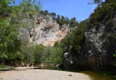
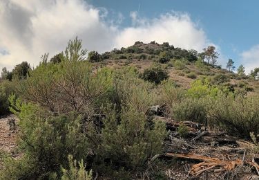
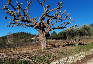
Pk salle polyvalente la Fraternelle-croix de Basson-le grand jardin-Pierroubaud-église-fort Gibron-chemin St Jean-chemin de l'écluse(canal, vallée de l'Argens, écluse, Apié, puits en pierre sèche, oliveraies et vignobles)


Stappen
Stappen
Stappen
Stappen
Stappen
Stappen

Stappen

Mountainbike

Mountainbike