


8,8 km | 10,6 km-effort


Gebruiker


Gratisgps-wandelapplicatie
 SityTrail
IGN / Geografische instituten
SityTrail World
De wereld gaat voor u open
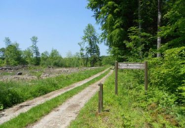
Tocht Mountainbike van 11,5 km beschikbaar op Normandië, Seine-Maritime, Morienne. Deze tocht wordt voorgesteld door tracegps.
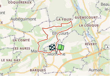
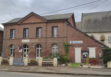
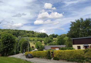
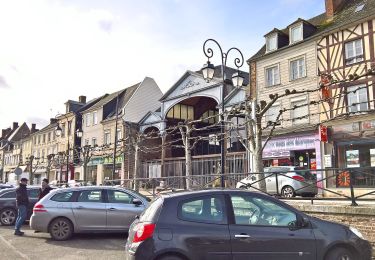
Circuit proposé par l'Office de Tourisme d'Aumale. Départ de l'église de Morienne construite en 1732. Mentionnée dans une charte du VIIe siècle, Morienne fut une section de la paroisse de Ste-Marguerite jusqu'en 1953, date de réunion de Ste-Marguerite à la ville d'Aumale. Prendre la D502, puis longer le Bois Boitel puis le Bois Maréchal par la vallée Becquet. Arriver à Ellecourt, belle vue sur la vallée de la Méline, rejoindre les Communes par la D102, traverser la Méline pour rejoindre La Crapaudière, puis les fermes La Quesnoye et Frèquecamp par la plaine d'Ellecourt. Avant la ferme de Mont Joly, descendre par la gauche pour rattraper la D102 jusqu'à Blingemer. Tourner à gauche, passer devant la Chapelle St-Joseph avant d'arriver à Marques. Revenir au point de départ en passant par La Preuse.
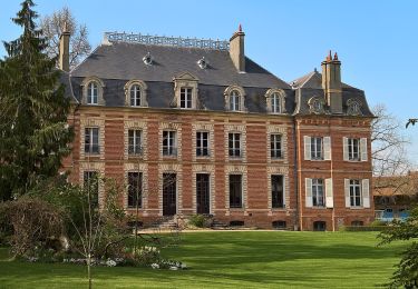
 - Morienne - Photo 1")
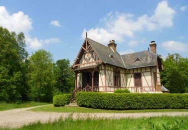
 - Morienne - Photo 2")
Te voet
Te voet
Te voet
Te voet
Paard

Mountainbike

Stappen

Paard
Mountainbike