6,6 km | 8,7 km-effort
Rétina 2013 - Tourlaville
tracegps
Gebruiker
Lengte
46 km
Max. hoogte
177 m
Positief hoogteverschil
699 m
Km-Effort
55 km
Min. hoogte
12 m
Negatief hoogteverschil
698 m
Boucle
Ja
Datum van aanmaak :
2014-12-10 00:00:00.0
Laatste wijziging :
2014-12-10 00:00:00.0
2h30
Moeilijkheid : Gemakkelijk
Gratisgps-wandelapplicatie
Over ons
Tocht Mountainbike van 46 km beschikbaar op Normandië, Manche, Cherbourg-en-Cotentin. Deze tocht wordt voorgesteld door tracegps.
Beschrijving
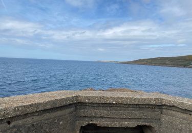
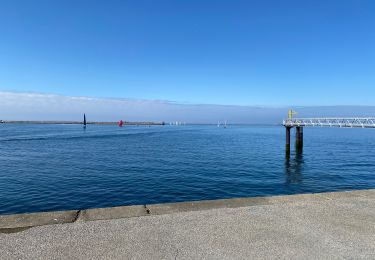
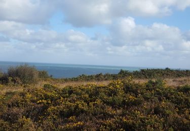
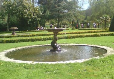
Rando pratiquée dans le cadre de "LA RETINA 2013". Rando roulante idéale par temps humide.
Plaatsbepaling
Land:
France
Regio :
Normandië
Departement/Provincie :
Manche
Gemeente :
Cherbourg-en-Cotentin
Locatie:
Tourlaville
Vertrek:(Dec)
Vertrek:(UTM)
604650 ; 5498651 (30U) N.
Opmerkingen
Wandeltochten in de omgeving
Bretteville Pointe de la Bricq
Stappen
Bretteville,
Normandië,
Manche,
France
7,3 km | 8,3 km-effort
2h 19min
Ja
Autour de Cherbourg en vélo
Wegfiets
Heel gemakkelijk
Cherbourg-en-Cotentin,
Normandië,
Manche,
France
24 km | 26 km-effort
2h 12min
Ja
Tourlaville : 22 octobre 2017
Stappen
Gemakkelijk
Cherbourg-en-Cotentin,
Normandië,
Manche,
France
6,2 km | 7,5 km-effort
1h 2min
Ja
Relais des 4 châteaux 2013 - Tourlaville
Mountainbike
Moeilijk
Cherbourg-en-Cotentin,
Normandië,
Manche,
France
30 km | 38 km-effort
3h 0min
Ja
Le colignon
Stappen
Heel gemakkelijk
(1)
Cherbourg-en-Cotentin,
Normandië,
Manche,
France
5,8 km | 7,2 km-effort
1h 34min
Ja
Anse du Brick ET Les Landes
Stappen
Medium
Maupertus-sur-Mer,
Normandië,
Manche,
France
14 km | 18 km-effort
3h 56min
Ja
Maupertus
Stappen
Medium
Maupertus-sur-Mer,
Normandië,
Manche,
France
6,5 km | 8,6 km-effort
2h 8min
Ja
Tourlaville - Collignon
Stappen
Medium
Cherbourg-en-Cotentin,
Normandië,
Manche,
France
9,8 km | 11,5 km-effort
2h 4min
Ja