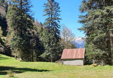
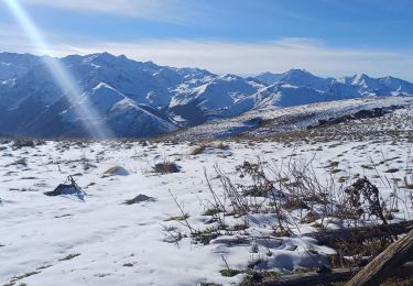
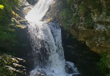
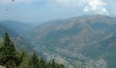
Tocht Mountainbike Saint-Aventin - Luchon Kbour - Photo
 tracegps
tracegps

Gebruiker

© OpenStreetMap contributors
Lengte
Lengte
11 km
Max. hoogte
Max. hoogte
1799 m
Positief hoogteverschil
138 m
Km-Effort
Km-Effort  
16,7 km
Min. hoogte
Min. hoogte
640 m
Negatief hoogteverschil
1289 m
Boucle
Boucle
Neen
Datum van aanmaak :
2014-12-10 00:00:00.0
Laatste wijziging :
2014-12-10 00:00:00.0

(1 Bericht)

Mountainbike
Mountainbike
1h00
Moeilijkheid : Zeer moeilijk

Scan deze QR-code om de tocht te openen in de SityTrail-applicatie

Gratisgps-wandelapplicatie

Logo SityTrail SityTrail
IGN / Geografische instituten

SityTrail uit de App Store downloaden SityTrail uit Google Play downloaden

Logo SityTrail SityTrail World

De wereld gaat voor u open

SityTrail uit de App Store downloaden SityTrail uit Google Play downloaden SityTrail op Huawei AppGallery downloaden

Over ons

Tocht Mountainbike van 11 km beschikbaar op Occitanië, Haute-Garonne, Saint-Aventin. Deze tocht wordt voorgesteld door tracegps.

Beschrijving

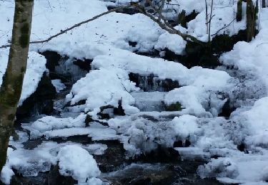
Nouveau tracé de la Kbour (provisoire) après les dégâts du mois de juin 2013; le balisage a été bien refait et l'itinéraire modifié. J'ai ajouté en bas un retour en forêt avec 100m de remontées et quelques poussages pour arriver juste au départ des œufs sans passer par du goudron, qui plus est un jour de fête des fleurs... N'étant pas adepte du VTT de descente mais de montagne, je ne peux juger du niveau mais quelques passages se font à pied.

Hoogteprofiel

Foto's

Plaatsbepaling

Land:
France
Regio :
Occitanië
Departement/Provincie :
Haute-Garonne
Gemeente :
Saint-Aventin
Locatie:
Unknown
Vertrek:(Dec)
Vertrek:(UTM)
301899 ; 4737917 (31T) N.

Opmerkingen

Gelieve in te loggen om een commentaar of een beoordeling achter te laten


belle piste, très raide et technique, j'ai roulé sur le mouillé et a eu quelques moments de panique dans la section du milieu, au sec ce serait tres difficile, mieux d'éviter sous la pluie


Wandeltochten in de omgeving

Tocht Sneeuwschoenen Juzet-de-Luchon - JUZET - PAS DE LA COMBE (LABACH) - Photo
Sneeuwschoenen
Marcocroco

Sneeuwschoenen

Medium
(1)
Juzet-de-Luchon, Occitanië, Haute-Garonne, France
7,1 km | 12,5 km-effort
2h 33min
Ja
Tocht Stappen Saint-Mamet - Fonds de Burbe - Saint Mamet - Photo
Stappen
tracegps

Stappen

Moeilijk
(1)
Saint-Mamet, Occitanië, Haute-Garonne, France
15,6 km | 27 km-effort
4h 0min
Ja
Tocht Te voet Castillon-de-Larboust - Lac Vert, Boucle par l'Est - Photo
Te voet
GUIDE+

Te voet

Gemakkelijk
Castillon-de-Larboust, Occitanië, Haute-Garonne, France
8,8 km | 19,5 km-effort
4h 26min
Neen
Tocht Stappen Bagnères-de-Luchon - GR 10 - 3 - Photo
Stappen
loic09

Stappen

Medium
(2)
Bagnères-de-Luchon, Occitanië, Haute-Garonne, France
250 km | 489 km-effort
89h 8min
Neen
Tocht Stappen Castillon-de-Larboust - lac Charles, lac bleu, lac vert vallée du Lys  - Photo
Stappen
GUIDE
lhomme.ph

Stappen

Moeilijk
Castillon-de-Larboust, Occitanië, Haute-Garonne, France
15,1 km | 32 km-effort
11h 17min
Ja
Tocht Stappen Sode - cabane de Plan Pouné, par refuge de Cualot - Photo
Stappen
chrisgps

Stappen

Zeer moeilijk
Sode, Occitanië, Haute-Garonne, France
9,8 km | 19,5 km-effort
4h 26min
Ja
Tocht Stappen Saint-Aventin - Cabane de Courreau en boucle depuis St Aventin  - Photo
Stappen
GUIDE
lhomme.ph

Stappen

Medium
Saint-Aventin, Occitanië, Haute-Garonne, France
13,3 km | 24 km-effort
6h 10min
Ja
Tocht Stappen Castillon-de-Larboust - Cabane de la Coume - Photo
Stappen
swp648

Stappen

Moeilijk
Castillon-de-Larboust, Occitanië, Haute-Garonne, France
9,1 km | 18,4 km-effort
3h 39min
Ja
Tocht Stappen Bagnères-de-Luchon - 2022 08 -Transpyrénéen 2 : Bagnères de Luchon -Fos - Photo
Stappen
LEGUE

Stappen

Zeer moeilijk
Bagnères-de-Luchon, Occitanië, Haute-Garonne, France
30 km | 55 km-effort
7h 8min
Neen


Sluiten
Mijn abonnementen