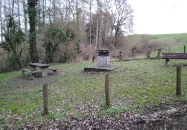
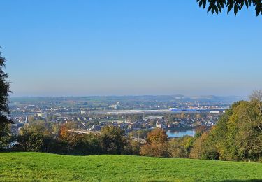
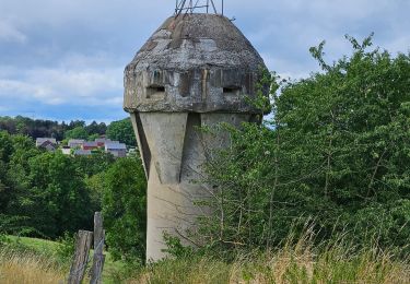
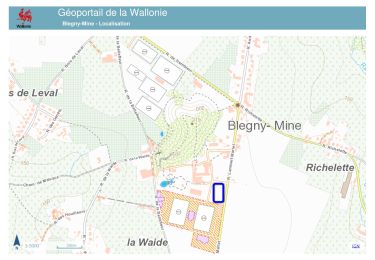
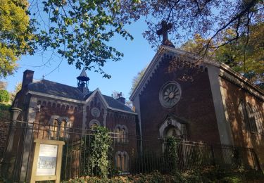
Tocht Stappen Herve - Bolland adeps - Photo

Bolland adeps

© OpenStreetMap contributors
Lengte
Lengte
11,6 km
Max. hoogte
Max. hoogte
295 m
Positief hoogteverschil
264 m
Km-Effort
Km-Effort  
15,1 km
Min. hoogte
Min. hoogte
193 m
Negatief hoogteverschil
267 m
Boucle
Boucle
Ja
Datum van aanmaak :
2022-03-13 13:19:19.0
Laatste wijziging :
2022-03-13 16:45:22.169

(1 Bericht)

Stappen
Stappen
2h35
Moeilijkheid : Medium

Scan deze QR-code om de tocht te openen in de SityTrail-applicatie

Gratisgps-wandelapplicatie

Logo SityTrail SityTrail

IGN / Geografische instituten

SityTrail uit de App Store downloaden SityTrail uit Google Play downloaden

Logo SityTrail SityTrail World

De wereld gaat voor u open

SityTrail uit de App Store downloaden SityTrail uit Google Play downloaden SityTrail op Huawei AppGallery downloaden

Over ons

Tocht Stappen van 11,6 km beschikbaar op Wallonië, Luik, Herve. Deze tocht wordt voorgesteld door chantal.dgdl@hotmail.com.

Beschrijving

Bolland

Hoogteprofiel

Plaatsbepaling

Land:
Belgium
Regio :
Wallonië
Departement/Provincie :
Luik
Gemeente :
Herve
Locatie:
Unknown
Vertrek:(Dec)
Vertrek:(UTM)
695013 ; 5615843 (31U) N.

Opmerkingen

Gelieve in te loggen om een commentaar of een beoordeling achter te laten


Très beau parcours majoritairement dans les prairies avec de superbes vues sur le paysage bocager du Pays de Herve. ❗ Le 1er sentier à gauche est privé et bien clôturé, donc continuer par la route pour retomber plus haut sur le parcours.


Wandeltochten in de omgeving

Tocht Stappen Aubel - autour de val dieu  - Photo
Stappen
GUIDE
blechanteur

Stappen

Heel gemakkelijk
(6)
Aubel, Wallonië, Luik, Belgium
9,5 km | 12,1 km-effort
2h 13min
Ja
Tocht Stappen Herve - Entre bois et GR (8km) - Photo
Stappen
GUIDE+

Stappen

Heel gemakkelijk
(5)
Herve, Wallonië, Luik, Belgium
7,7 km | 10,1 km-effort
Onbekend
Ja
Tocht Stappen Fléron - 2024-06-16_18h18m53_1402.gpx.xml - Photo
Stappen
GUIDE
mumu.larandonneuse

Stappen

Medium
(1)
Fléron, Wallonië, Luik, Belgium
9,8 km | 12,3 km-effort
2h 47min
Ja
Tocht Stappen Blegny - 2023-07-28_14h00m33_1702.gpx.xml - Photo
Stappen
GUIDE
mumu.larandonneuse

Stappen

Gemakkelijk
(1)
Blegny, Wallonië, Luik, Belgium
9,9 km | 11,8 km-effort
2h 40min
Ja
Tocht Stappen Blegny - 20230703 - Blegny-Mine 6.8 Km - Photo
Stappen
GUIDE
pierreh01

Stappen

Medium
(1)
Blegny, Wallonië, Luik, Belgium
6,8 km | 8,6 km-effort
2h 8min
Ja
Tocht Stappen Wezet - Domaine de la Julienne  - Photo
Stappen
GUIDE
mumu.larandonneuse

Stappen

Gemakkelijk
(1)
Wezet, Wallonië, Luik, Belgium
7,3 km | 9,5 km-effort
2h 9min
Ja
Tocht Stappen Herve - 20220919 - Herve 6 Km - Photo
Stappen
GUIDE
pierreh01

Stappen

Medium
(1)
Herve, Wallonië, Luik, Belgium
6 km | 7,3 km-effort
1h 44min
Ja
Tocht Stappen Herve - 20220603 - Herve 6.1 Km - Photo
Stappen
GUIDE
pierreh01

Stappen

Medium
(1)
Herve, Wallonië, Luik, Belgium
6,2 km | 7,5 km-effort
1h 38min
Ja
Tocht Stappen Soumagne - 2021-10-28_12h59m26_1395 - Photo
Stappen
GUIDE
mumu.larandonneuse

Stappen

Gemakkelijk
(3)
Soumagne, Wallonië, Luik, Belgium
10,4 km | 13,4 km-effort
3h 2min
Ja


Sluiten
Mijn abonnementen