


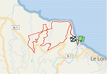

9,1 km | 13,9 km-effort

Gebruiker GUIDE


Gratisgps-wandelapplicatie
 SityTrail
IGN / Geografische instituten
SityTrail World
De wereld gaat voor u open
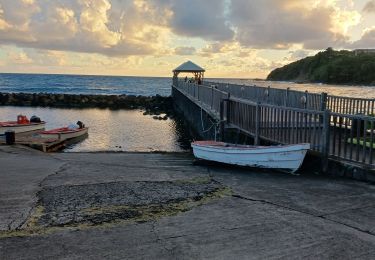
Tocht Stappen van 8,5 km beschikbaar op Martinique, Onbekend, Le Lorrain. Deze tocht wordt voorgesteld door Lamartiniere.
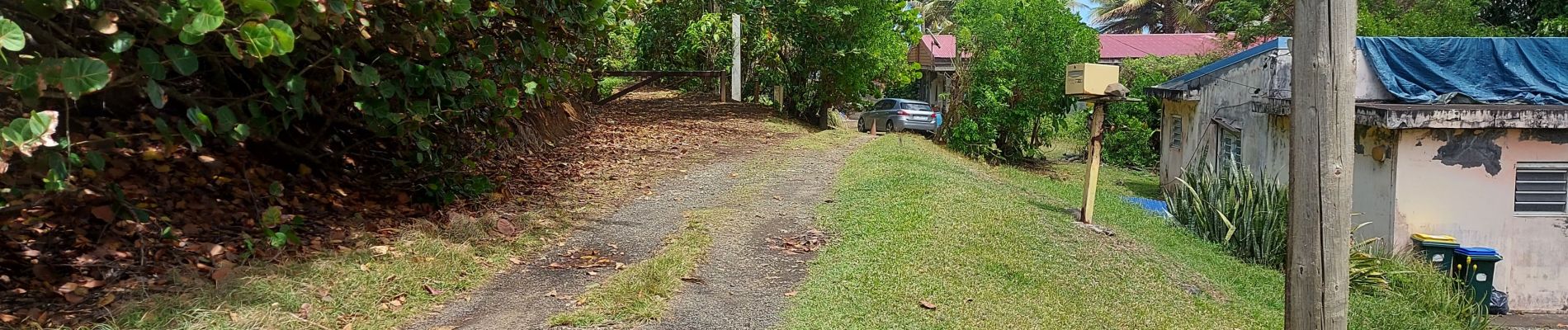
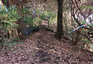
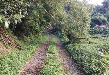
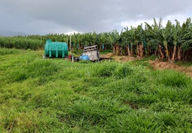
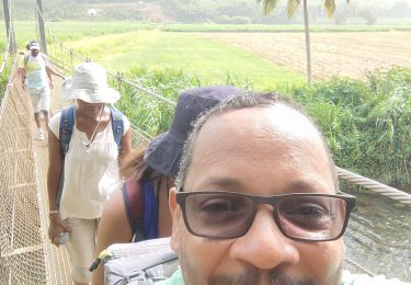
Prospection de rando. Demande d'autorisation pour randonner dans la bananeraie Assier. Se munir d'une carte, de nombreux talwegs à traverser.


Stappen
Stappen
Stappen

Stappen
Stappen
Stappen
Stappen
Stappen
Stappen