


32 km | 63 km-effort


Gebruiker


Gratisgps-wandelapplicatie
 SityTrail
IGN / Geografische instituten
SityTrail World
De wereld gaat voor u open
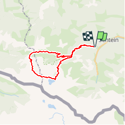
Tocht Stappen van 24 km beschikbaar op Occitanië, Ariège, Sentein. Deze tocht wordt voorgesteld door Polo-31.
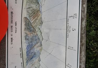
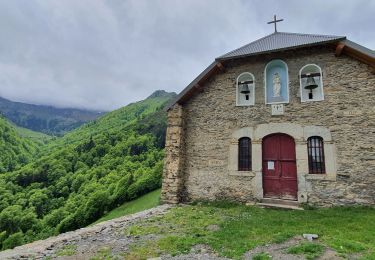
Depuis le parking de Frechendech suivre le sentier jusqu'à l'étang d'Araing (Refuge Jacques Husson). Retour par le Col d'Auréan, Col d'Auarde. Pour rejoindre le Col d'Auarde, ne pas oublier de quitter le GR10 vers la droite à la hauteur de l'altisurface (aucun repère) pour rejoindre un petit plateau 40m au dessus afin de contourner le Pic de Pièlé de Mil sans perdre trop de dénivelé. Après le col descendre vers la cabane des Pugues en restant à droite de la vallée. Ensuite la descente est très facile, elle passe par la Chapelle de l'Isard.

Stappen
Stappen
Stappen
Stappen
Stappen
Stappen
Stappen
Stappen

Stappen
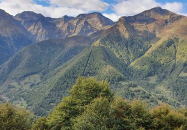
superbe parcours