
FLIREY - LES VIGNOTTES

jean-marie.parachini
Gebruiker

Lengte
11,5 km

Max. hoogte
314 m

Positief hoogteverschil
141 m

Km-Effort
13,3 km

Min. hoogte
246 m

Negatief hoogteverschil
141 m
Boucle
Ja
Datum van aanmaak :
2022-03-08 12:33:08.221
Laatste wijziging :
2022-03-08 17:31:44.856
4h40
Moeilijkheid : Gemakkelijk

Gratisgps-wandelapplicatie
Over ons
Tocht Stappen van 11,5 km beschikbaar op Grand Est, Meurthe-et-Moselle, Flirey. Deze tocht wordt voorgesteld door jean-marie.parachini.
Beschrijving
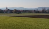
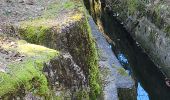
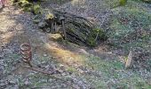
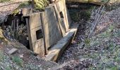
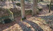
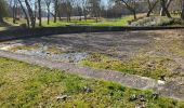
Parcours au départ des ruines de l'ancienne église de Flirey détruite pendant la 1ère guerre mondiale puis passage par les tranchées allemandes de Saint Baussant.
Retour par les abords de Seicheprey et retour au point de départ.
Plaatsbepaling
Land:
France
Regio :
Grand Est
Departement/Provincie :
Meurthe-et-Moselle
Gemeente :
Flirey
Locatie:
Unknown
Vertrek:(Dec)
Vertrek:(UTM)
709022 ; 5417564 (31U) N.
Opmerkingen
Wandeltochten in de omgeving

La forêt de la Reine et ses mystères - Circuit n° 8


Fiets
Moeilijk
Mandres-aux-Quatre-Tours,
Grand Est,
Meurthe-et-Moselle,
France

50 km | 56 km-effort
3h 30min
Ja

Flirey circuit des Vignottes


Stappen
Medium
Flirey,
Grand Est,
Meurthe-et-Moselle,
France

11,5 km | 13,4 km-effort
4h 43min
Ja

lironville madine


Elektrische fiets
Heel gemakkelijk
Lironville,
Grand Est,
Meurthe-et-Moselle,
France

55 km | 64 km-effort
3h 12min
Neen

8/8/32 Manon Ille petite Suisse lorrainepluie


Stappen
Medium
Manonville,
Grand Est,
Meurthe-et-Moselle,
France

10,5 km | 12,8 km-effort
3h 21min
Ja

Lironville domevre


Mountainbike
Gemakkelijk
Lironville,
Grand Est,
Meurthe-et-Moselle,
France

25 km | 30 km-effort
2h 19min
Ja

mort marre


Stappen
Heel gemakkelijk
Flirey,
Grand Est,
Meurthe-et-Moselle,
France

6,6 km | 7,9 km-effort
1h 34min
Neen

forêt de la reine


Mountainbike
Heel gemakkelijk
Mandres-aux-Quatre-Tours,
Grand Est,
Meurthe-et-Moselle,
France

30 km | 33 km-effort
2h 51min
Ja

Secheprey - les paroches


Mountainbike
Moeilijk
Seicheprey,
Grand Est,
Meurthe-et-Moselle,
France

32 km | 38 km-effort
2h 38min
Neen

mussi5


Mountainbike
Medium
Limey-Remenauville,
Grand Est,
Meurthe-et-Moselle,
France

21 km | 26 km-effort
2h 3min
Neen


 SityTrail


