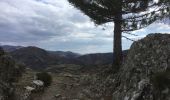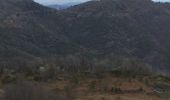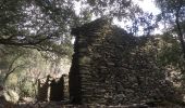

30 sentier des chars et Bonperrier

silvestreclaudine
Gebruiker

Lengte
14,9 km

Max. hoogte
917 m

Positief hoogteverschil
646 m

Km-Effort
24 km

Min. hoogte
351 m

Negatief hoogteverschil
668 m
Boucle
Neen
Datum van aanmaak :
2022-03-04 09:31:31.0
Laatste wijziging :
2022-03-05 07:15:20.061
5h19
Moeilijkheid : Gemakkelijk

Gratisgps-wandelapplicatie
Over ons
Tocht Stappen van 14,9 km beschikbaar op Occitanië, Gard, Val-d'Aigoual. Deze tocht wordt voorgesteld door silvestreclaudine.
Beschrijving
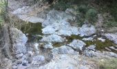
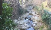
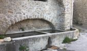
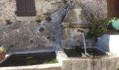
Départ du moulinet
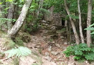
Montée raide après le hameau de Figairol.
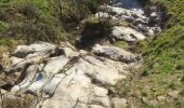
Retour traverser la coupe de bois et continuer tout droit ,le sentier descend il est peu visible au départ et pas très marqué.
Plaatsbepaling
Land:
France
Regio :
Occitanië
Departement/Provincie :
Gard
Gemeente :
Val-d'Aigoual
Locatie:
Valleraugue
Vertrek:(Dec)
Vertrek:(UTM)
553894 ; 4881076 (31T) N.
Opmerkingen
Wandeltochten in de omgeving
Sentier de Saint Marcel de Fontfouillouse - Les Plantiers


Stappen
Zeer moeilijk
(1)
Les Plantiers,
Occitanië,
Gard,
France

13,6 km | 21 km-effort
4h 0min
Ja
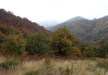
Vallée Borgne


Stappen
Moeilijk
Les Plantiers,
Occitanië,
Gard,
France

19,7 km | 32 km-effort
5h 19min
Ja
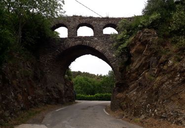
vallée Borgne


Stappen
Moeilijk
Les Plantiers,
Occitanië,
Gard,
France

25 km | 36 km-effort
6h 15min
Ja

Aire de Côte - Mas Corbières


Stappen
Medium
(1)
Bassurels,
Occitanië,
Lozère,
France

13,9 km | 20 km-effort
4h 5min
Neen

Les Plantiers et st Marcel de Fontfouillouse


Stappen
Moeilijk
(1)
Les Plantiers,
Occitanië,
Gard,
France

13,6 km | 21 km-effort
4h 33min
Ja
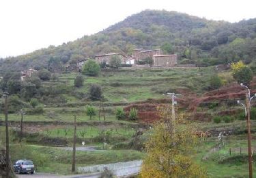
Sentier du Mouflon - Les Plantiers


Stappen
Moeilijk
Les Plantiers,
Occitanië,
Gard,
France

11,2 km | 18,6 km-effort
3h 30min
Ja
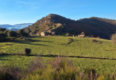
la Becede


Stappen
Gemakkelijk
Les Plantiers,
Occitanië,
Gard,
France

6,1 km | 10,3 km-effort
2h 44min
Ja
Cascade d'Orgon-15-06-22


Stappen
Moeilijk
Val-d'Aigoual,
Occitanië,
Gard,
France

22 km | 40 km-effort
6h 17min
Ja
4000 marches-14-06-22


Stappen
Zeer moeilijk
Val-d'Aigoual,
Occitanië,
Gard,
France

30 km | 50 km-effort
7h 47min
Ja


 SityTrail


