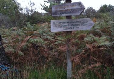
7,7 km | 10 km-effort
boucle de l'étang de es pompiers
Patricew
Gebruiker
Lengte
6,2 km
Max. hoogte
280 m
Positief hoogteverschil
81 m
Km-Effort
7,3 km
Min. hoogte
239 m
Negatief hoogteverschil
80 m
Boucle
Ja
Datum van aanmaak :
2022-03-03 13:07:52.685
Laatste wijziging :
2022-03-03 14:22:34.455
1h14
Moeilijkheid : Gemakkelijk
Gratisgps-wandelapplicatie
Over ons
Tocht Stappen van 6,2 km beschikbaar op Nieuw-Aquitanië, Dordogne, Nantheuil. Deze tocht wordt voorgesteld door Patricew.
Beschrijving
Jolie randonnée,mais que de la route calme
Plaatsbepaling
Land:
France
Regio :
Nieuw-Aquitanië
Departement/Provincie :
Dordogne
Gemeente :
Nantheuil
Locatie:
Unknown
Vertrek:(Dec)
Vertrek:(UTM)
339813 ; 5031833 (31T) N.
Opmerkingen
Wandeltochten in de omgeving
Les boucles la Caraque/le Ravillou - Saint-Sulpice-d'Excideuil
Stappen
Medium
(1)
Saint-Sulpice-d'Excideuil,
Nieuw-Aquitanië,
Dordogne,
France
2h 0min
Ja
St Sulpice Excideuil Cavaire + Ravillou 12km
Stappen
Gemakkelijk
(1)
Saint-Sulpice-d'Excideuil,
Nieuw-Aquitanië,
Dordogne,
France
11,3 km | 14,4 km-effort
3h 5min
Ja
Thiviers vtt
Mountainbike
Heel gemakkelijk
Thiviers,
Nieuw-Aquitanië,
Dordogne,
France
48 km | 58 km-effort
6h 2min
Ja
La Servolle 2
Stappen
Gemakkelijk
Eyzerac,
Nieuw-Aquitanië,
Dordogne,
France
12,4 km | 14,9 km-effort
3h 16min
Ja
Nantheuil route
Stappen
Gemakkelijk
Nantheuil,
Nieuw-Aquitanië,
Dordogne,
France
8 km | 9,6 km-effort
1h 39min
Neen
Boucle observatoire allongée Nantheuil
Stappen
Medium
Nantheuil,
Nieuw-Aquitanië,
Dordogne,
France
11,2 km | 14,2 km-effort
2h 52min
Ja
Eyzerat
Stappen
Medium
Eyzerac,
Nieuw-Aquitanië,
Dordogne,
France
12,8 km | 15,7 km-effort
3h 3min
Ja
tacot de Nantheuil
Stappen
Heel gemakkelijk
Sarrazac,
Nieuw-Aquitanië,
Dordogne,
France
7,2 km | 8,5 km-effort
1h 21min
Ja
Vertèbres
Stappen
Medium
Thiviers,
Nieuw-Aquitanië,
Dordogne,
France
8,3 km | 9,9 km-effort
1h 44min
Neen