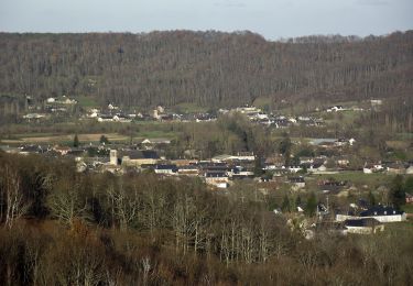

G3 Ail des Ours et Miramont

mitch1952
Gebruiker

Lengte
11,7 km

Max. hoogte
643 m

Positief hoogteverschil
382 m

Km-Effort
16,7 km

Min. hoogte
408 m

Negatief hoogteverschil
378 m
Boucle
Ja
Datum van aanmaak :
2022-03-02 09:01:46.685
Laatste wijziging :
2022-03-02 09:09:49.662
3h48
Moeilijkheid : Gemakkelijk

Gratisgps-wandelapplicatie
Over ons
Tocht Te voet van 11,7 km beschikbaar op Occitanië, Hautes-Pyrénées, Adé. Deze tocht wordt voorgesteld door mitch1952.
Beschrijving
Randonnée programmée soient les 22 ou 29 avril 2022 en raison de la floraison de l' Ail des Ours
IBP 53 Cotation E3 T2 R2
Le dénivelée cumulée est sous estimé car IBP trouve 450 m
Plaatsbepaling
Land:
France
Regio :
Occitanië
Departement/Provincie :
Hautes-Pyrénées
Gemeente :
Adé
Locatie:
Unknown
Vertrek:(Dec)
Vertrek:(UTM)
742966 ; 4781392 (30T) N.
Opmerkingen
Wandeltochten in de omgeving

Le Chemin des Crêtes


Te voet
Gemakkelijk
Lanne,
Occitanië,
Hautes-Pyrénées,
France

11,4 km | 14,4 km-effort
3h 16min
Ja

Les 3 Chapelles


Te voet
Gemakkelijk
Ossun,
Occitanië,
Hautes-Pyrénées,
France

10,9 km | 13,3 km-effort
3h 1min
Ja

La Forêt d'Ossun


Te voet
Gemakkelijk
Ossun,
Occitanië,
Hautes-Pyrénées,
France

11,9 km | 15,3 km-effort
3h 29min
Ja

Averan les crêtes court


Andere activiteiten
Gemakkelijk
(1)
Lanne,
Occitanië,
Hautes-Pyrénées,
France

10 km | 12,6 km-effort
2h 20min
Ja

tour de serix


Noords wandelen
Gemakkelijk
Ossun,
Occitanië,
Hautes-Pyrénées,
France

11,2 km | 13,3 km-effort
2h 15min
Neen

Entre Ossun et Bartrès


Noords wandelen
Heel gemakkelijk
Ossun,
Occitanië,
Hautes-Pyrénées,
France

11,8 km | 13,8 km-effort
2h 51min
Ja

Les chemins de Loucrup


Stappen
Gemakkelijk
Orincles,
Occitanië,
Hautes-Pyrénées,
France

9,4 km | 12,5 km-effort
2h 49min
Ja

-Barry - Miramont


Te voet
Gemakkelijk
Barry,
Occitanië,
Hautes-Pyrénées,
France

9,9 km | 14,1 km-effort
3h 12min
Ja

2021-05-02 16:57:34


Te voet
Medium
Lanne,
Occitanië,
Hautes-Pyrénées,
France

18,6 km | 25 km-effort
5h 42min
Ja


 SityTrail


