


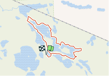

13,2 km | 14 km-effort


Tous les sentiers balisés d’Europe GUIDE+


Gratisgps-wandelapplicatie
 SityTrail
IGN / Geografische instituten
SityTrail World
De wereld gaat voor u open
Tocht Te voet van 9,9 km beschikbaar op Onbekend, Kainuu, Suomussalmi. Deze tocht wordt voorgesteld door SityTrail - itinéraires balisés pédestres.
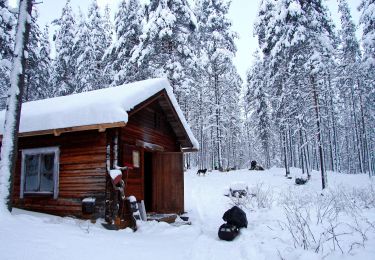
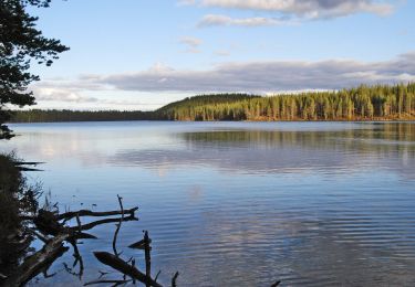
Hossan patikointireitit, reittien lähtöpisteet, reittiesittelyt ja retkeilyrakenteet.
Website: https://www.luontoon.fi/hossa/patikointireitit#laukkujarvenlenkki
Te voet
Te voet

Te voet
Te voet

Stappen