


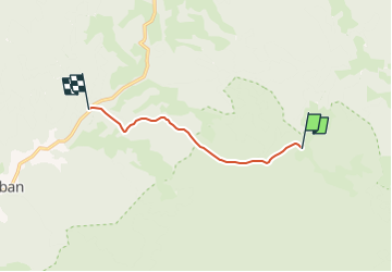

5,8 km | 10,4 km-effort


Tous les sentiers balisés d’Europe GUIDE+


Gratisgps-wandelapplicatie
 SityTrail
IGN / Geografische instituten
SityTrail World
De wereld gaat voor u open
Tocht Te voet van 6,1 km beschikbaar op Harghita. Deze tocht wordt voorgesteld door SityTrail - itinéraires balisés pédestres.
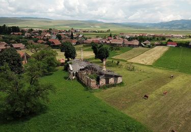
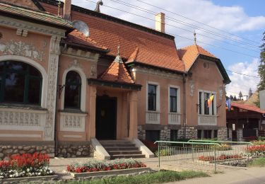
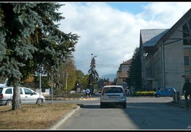
A rendkívül hiányos, csak elvétve található jelzések miatt a köves utat követve találunk oda.
Te voet
Te voet
Te voet

Te voet

Te voet
Te voet
Te voet