


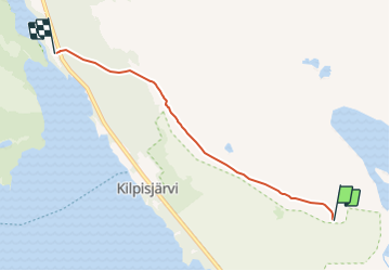

5,7 km | 8 km-effort

Tous les sentiers balisés d’Europe GUIDE+


Gratisgps-wandelapplicatie
 SityTrail
IGN / Geografische instituten
SityTrail World
De wereld gaat voor u open
Tocht Te voet van 4,4 km beschikbaar op Onbekend, Lapland, Enontekiö. Deze tocht wordt voorgesteld door SityTrail - itinéraires balisés pédestres.
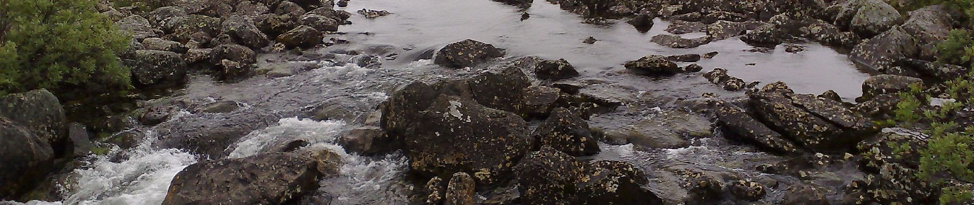
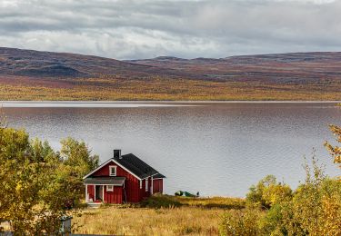
Käsivarsi: Finland's wild northwestern arm – Käsivarsi – has the country's most mountainous scenery.
Website: https://nationalparks.fi/kasivarsi


Te voet