


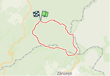

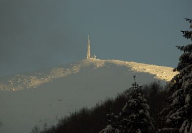
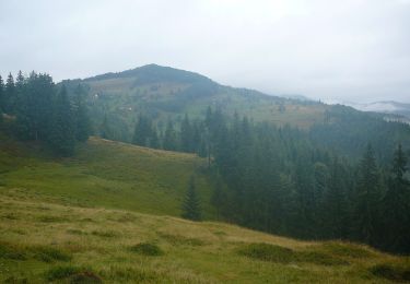
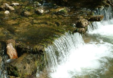
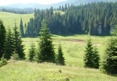
13,4 km | 23 km-effort


Tous les sentiers balisés d’Europe GUIDE+


Gratisgps-wandelapplicatie
 SityTrail
IGN / Geografische instituten
SityTrail World
De wereld gaat voor u open
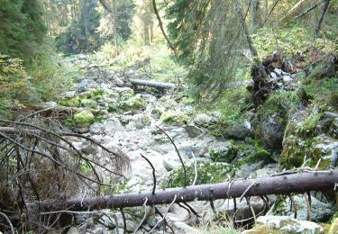
Tocht Te voet van 12 km beschikbaar op Cluj. Deze tocht wordt voorgesteld door SityTrail - itinéraires balisés pédestres.
Trail created by Casa de oaspeți Podina.
Symbol: Red dot with white border
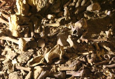
Te voet
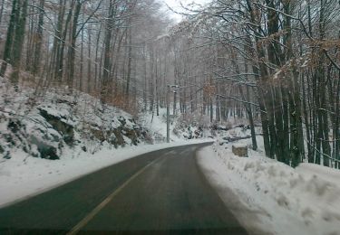
Te voet
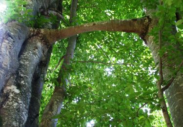
Te voet
Te voet
Te voet

Te voet
Te voet
Te voet