


30 km | 33 km-effort

Tous les sentiers balisés d’Europe GUIDE+


Gratisgps-wandelapplicatie
 SityTrail
IGN / Geografische instituten
SityTrail World
De wereld gaat voor u open
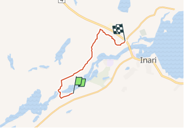
Tocht Te voet van 3,8 km beschikbaar op Onbekend, Lapland, Inari. Deze tocht wordt voorgesteld door SityTrail - itinéraires balisés pédestres.
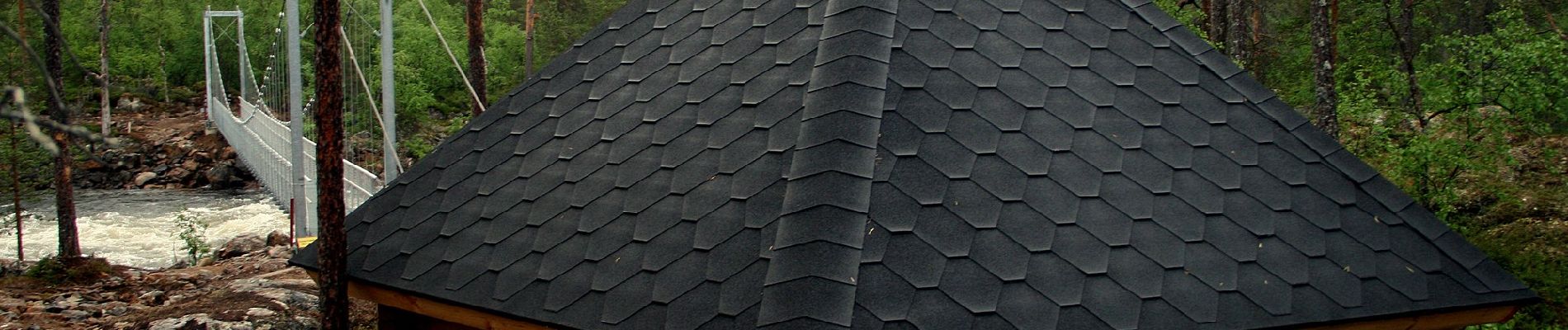
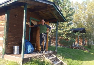
Juutuan luonto- ja kulttuuripolku
Website: https://www.luontoon.fi/inari/reitit/juutuanluontopolku


Sneeuwschoenen