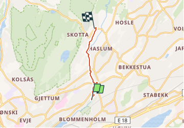

8,7 km | 11,6 km-effort

Tous les sentiers balisés d’Europe GUIDE+


Gratisgps-wandelapplicatie
 SityTrail
IGN / Geografische instituten
SityTrail World
De wereld gaat voor u open
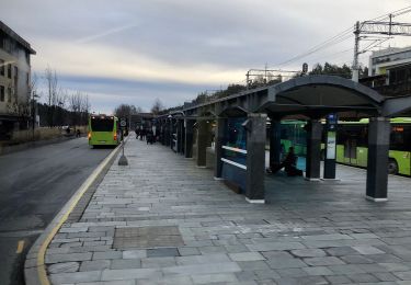
Tocht Te voet van 3,4 km beschikbaar op Viken. Deze tocht wordt voorgesteld door SityTrail - itinéraires balisés pédestres.
Trail created by Bærum kommune.
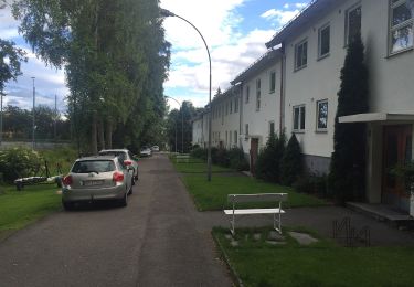
Oppgitt fra Høvikodden;Blommenholm, men ikke skiltet før Kloppa
Symbol: signposted


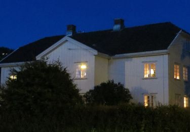
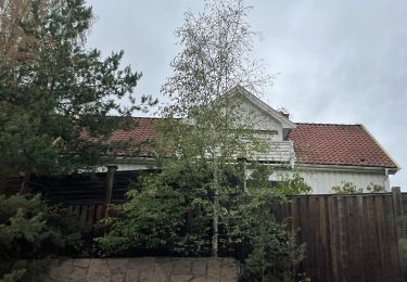
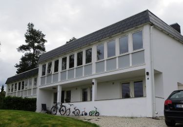
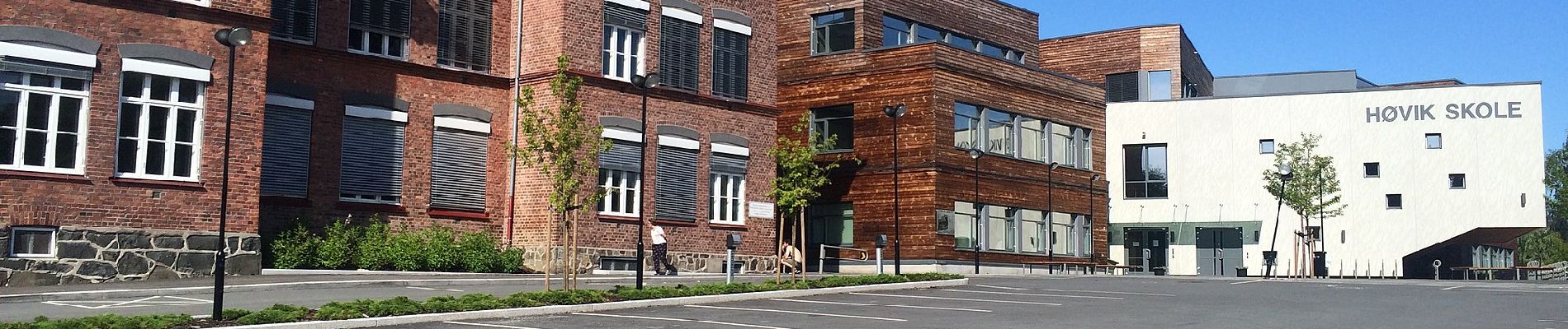
Te voet
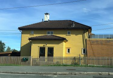
Te voet
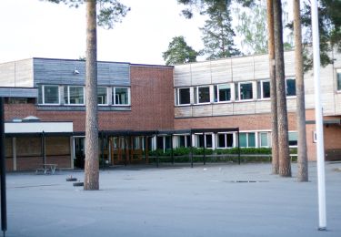
Te voet
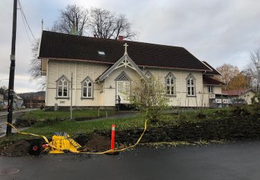
Te voet
Te voet
Te voet